File:Saskatchewan-census area 06.png
Jump to navigation
Jump to search

Size of this preview: 347 × 600 pixels. Other resolutions: 139 × 240 pixels | 379 × 655 pixels.
Original file (379 × 655 pixels, file size: 85 KB, MIME type: image/png)
Captions
Captions
Add a one-line explanation of what this file represents
Summary[edit]
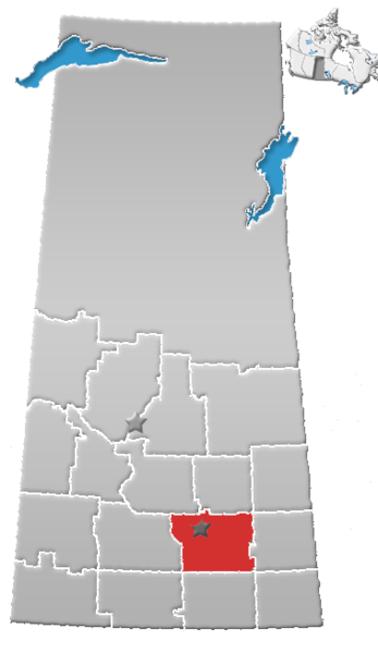
| Description | Saskatchewan census area No. 06 |
| Date | (UTC) |
| Source |
This file was derived from: SK-census divisions.png:  |
| Author |
|
| This is a retouched picture, which means that it has been digitally altered from its original version. The original can be viewed here: SK-census divisions.png:
|
Licensing[edit]
I, the copyright holder of this work, hereby publish it under the following license:
| I, the copyright holder of this work, release this work into the public domain. This applies worldwide. In some countries this may not be legally possible; if so: I grant anyone the right to use this work for any purpose, without any conditions, unless such conditions are required by law. |
Original upload log[edit]
This image is a derivative work of the following images:
- File:SK-census_divisions.png licensed with PD-self
Uploaded with derivativeFX
File history
Click on a date/time to view the file as it appeared at that time.
| Date/Time | Thumbnail | Dimensions | User | Comment | |
|---|---|---|---|---|---|
| current | 20:42, 1 August 2012 | | 379 × 655 (85 KB) | Feuerst (talk | contribs) | == {{int:filedesc}} == {{Information |Description=Saskatchewan census area No. 06 |Source={{Derived from|SK-census_divisions.png|display=50}} |Date=2012-08-01 20:31 (UTC) |Author=*File:SK-census_divisions.png: Qyd *derivative work: ... |
You cannot overwrite this file.
File usage on Commons
There are no pages that use this file.
File usage on other wikis
The following other wikis use this file:
- Usage on de.wikipedia.org
- Usage on en.wikipedia.org
- Regina, Saskatchewan
- Emerald Park, Saskatchewan
- White City, Saskatchewan
- Cupar, Saskatchewan
- Briercrest
- Chamberlain, Saskatchewan
- Odessa, Saskatchewan
- Rouleau, Saskatchewan
- Indian Head, Saskatchewan
- Balgonie
- Lumsden, Saskatchewan
- Sintaluta
- Buena Vista, Saskatchewan
- Fort Qu'Appelle
- Rural Municipality of Sherwood No. 159
- Qu'Appelle, Saskatchewan
- Pilot Butte, Saskatchewan
- Strasbourg, Saskatchewan
- Abernethy, Saskatchewan
- Alice Beach
- Rural Municipality of Dufferin No. 190
- Rural Municipality of Lumsden No. 189
- Rural Municipality of Sarnia No. 221
- Rural Municipality of Abernethy No. 186
- Regina Beach
- Balcarres, Saskatchewan
- Division No. 6, Saskatchewan
- Wilcox, Saskatchewan
- Lebret, Saskatchewan
- Kannata Valley
- Kenlis
- Rural Municipality of McKillop No. 220
- Rural Municipality of North Qu'Appelle No. 187
- Earl Grey, Saskatchewan
- Candiac, Saskatchewan
- Rural Municipality of Montmartre No. 126
- Sedley, Saskatchewan
- Drinkwater, Saskatchewan
- Belle Plaine, Saskatchewan
- Bethune, Saskatchewan
- Rural Municipality of Indian Head No. 156
- Southey, Saskatchewan
- Francis, Saskatchewan
- Bulyea
- Rural Municipality of Pense No. 160
- Rural Municipality of Edenwold No. 158
- Rural Municipality of South Qu'Appelle No. 157
- Pense, Saskatchewan
- Dilke, Saskatchewan
View more global usage of this file.