File:Satelitenbild SH HH.jpg
Jump to navigation
Jump to search
Size of this preview: 650 × 600 pixels. Other resolutions: 260 × 240 pixels | 520 × 480 pixels | 876 × 808 pixels.
Original file (876 × 808 pixels, file size: 85 KB, MIME type: image/jpeg)
Captions
Captions
Add a one-line explanation of what this file represents
Summary[edit]
Español: Imagen satélite de la NASA del mar del Norte
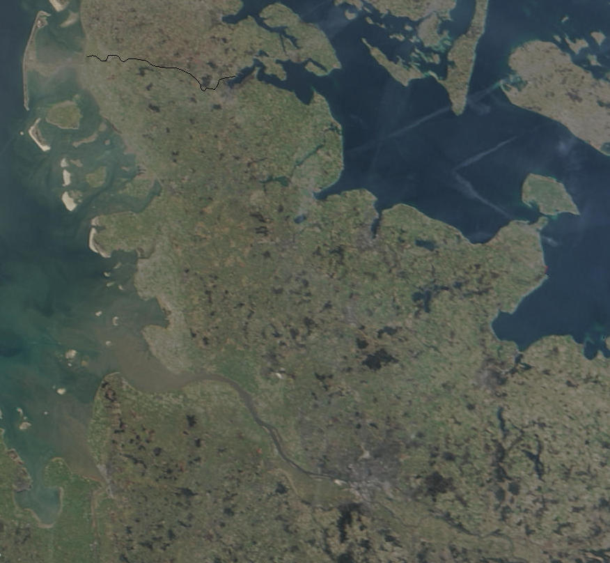
English: North Sea, Sands of the Sahara over North Sea. The red points mark up fires.
Deutsch: Nordsee, NASA-Aufnahme Public Domain. Saharasand über der Nordsee. Die roten Punkte markieren Feuer.
Čeština: Družicový snímek – písky ze Sahary nad Severním mořem. Červené body označují ohně.
- Source: http://visibleearth.nasa.gov/view_rec.php?id=5341
- first upload: April 7, 2004 - de:Wikipedia by user:Southpark
- Date of original NASA source photo - 16 April 2003
- A Version without Sahara dust and fire:


| This file is in the public domain in the United States because it was solely created by NASA. NASA copyright policy states that "NASA material is not protected by copyright unless noted". (See Template:PD-USGov, NASA copyright policy page or JPL Image Use Policy.) | ||
 |
Warnings:
|

File history
Click on a date/time to view the file as it appeared at that time.
| Date/Time | Thumbnail | Dimensions | User | Comment | |
|---|---|---|---|---|---|
| current | 16:28, 1 August 2018 | | 876 × 808 (85 KB) | Habitator terrae (talk | contribs) | File:NASA NorthSea1.jpg cropped 83 % horizontally, 88 % vertically using CropTool with precise mode. |
You cannot overwrite this file.
File usage on Commons
The following 2 pages use this file:
File usage on other wikis
The following other wikis use this file:
- Usage on de.wikipedia.org