File:Sheep on Twyford Down - geograph.org.uk - 450586.jpg
Jump to navigation
Jump to search
No higher resolution available.
Sheep_on_Twyford_Down_-_geograph.org.uk_-_450586.jpg (640 × 427 pixels, file size: 88 KB, MIME type: image/jpeg)
Captions
Captions
Add a one-line explanation of what this file represents
Summary[edit]
| Description |
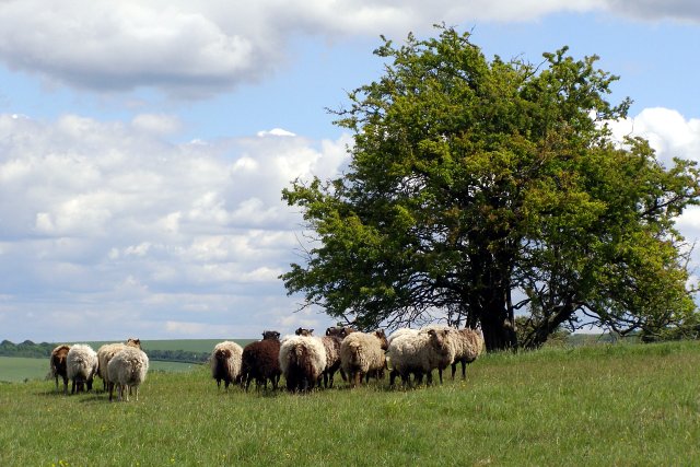
English: Sheep on Twyford Down This flock of sheep graze the annexe of St Catherine's Hill nature reserve that is on the eastern side of the M3 motorway cutting. The Pilgrim's Trail crosses the foreground from left to right. Beyond the thorn tree are the deeply incised 'hollow ways' leading down towards Winchester, known locally as the Dongas. |
| Date | |
| Source | From geograph.org.uk |
| Author | Jim Champion |
| Attribution (required by the license) | Jim Champion / Sheep on Twyford Down / |
| Camera location | | View this and other nearby images on: OpenStreetMap |
|---|
_heading:67.00&language=en)
| Object location | | View this and other nearby images on: OpenStreetMap |
|---|
_heading:67.00&language=en)
Licensing[edit]

|
This image was taken from the Geograph project collection. See this photograph's page on the Geograph website for the photographer's contact details. The copyright on this image is owned by Jim Champion and is licensed for reuse under the Creative Commons Attribution-ShareAlike 2.0 license.
|
This file is licensed under the Creative Commons Attribution-Share Alike 2.0 Generic license.
Attribution: Jim Champion
- You are free:
- to share – to copy, distribute and transmit the work
- to remix – to adapt the work
- Under the following conditions:
- attribution – You must give appropriate credit, provide a link to the license, and indicate if changes were made. You may do so in any reasonable manner, but not in any way that suggests the licensor endorses you or your use.
- share alike – If you remix, transform, or build upon the material, you must distribute your contributions under the same or compatible license as the original.
File history
Click on a date/time to view the file as it appeared at that time.
| Date/Time | Thumbnail | Dimensions | User | Comment | |
|---|---|---|---|---|---|
| current | 16:08, 4 February 2011 | | 640 × 427 (88 KB) | GeographBot (talk | contribs) | == {{int:filedesc}} == {{Information |description={{en|1=Sheep on Twyford Down This flock of sheep graze the annexe of St Catherine's Hill nature reserve that is on the eastern side of the M3 motorway cutting. The Pilgrim's Trail crosses the foreground fr |
You cannot overwrite this file.
File usage on Commons
There are no pages that use this file.