File:Shubert map - R12L05.jpg

Original file (7,439 × 5,791 pixels, file size: 18.47 MB, MIME type: image/jpeg)
Captions
Captions
| Shubert maps, 1 : 126 000 (Lithuanian part) | ||||
|---|---|---|---|---|
| IX-1 | IX-2 | IX-3 | IX-4 | |
| X-1 | X-2 | X-3 | X-4 | X-5 |
| XI-1 | XI-2 | XI-3 | XI-4 | XI-5 |
| XII-1 | XII-2 | XII-3 | XII-4 | XII-5 |
| XIII-2 | XIII-3 | XIII-4 | XIII-5 | |
| XIV-2 | XIV-3 | XIV-4 | ||
Summary[edit]
| Description |
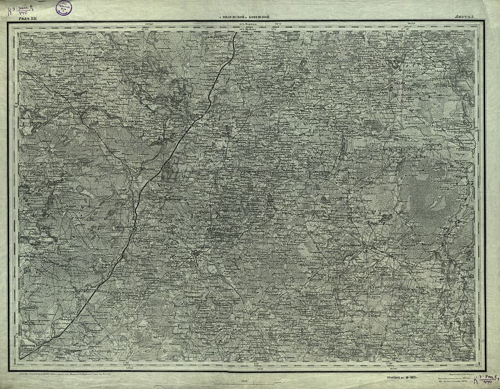
English: "Shubert's map". Fragment of topographic map of Russian Empire. 3 versta in inch (1260 m in 1 cm).
Русский: Лист из комплекта топографических карт Российской империи работы Шуберта. Масштаб: 3 версты в дюйме. (1 см-840м) .(1:126000)
This file was uploaded with Commonist. |
| Date | |
| Source | http://blacksearcher.ru/forum/viewtopic.php?t=1616 |
| Author |
Русский: Фёдор Фёдорович Шуберт (1789-1865), гравёры Военно-топографического депо, "вольные" гравёры |
Licensing[edit]
|
This work is in the public domain in its country of origin and other countries and areas where the copyright term is the author's life plus 70 years or fewer.
| |
| This file has been identified as being free of known restrictions under copyright law, including all related and neighboring rights. | |
File history
Click on a date/time to view the file as it appeared at that time.
| Date/Time | Thumbnail | Dimensions | User | Comment | |
|---|---|---|---|---|---|
| current | 10:55, 29 January 2013 | | 7,439 × 5,791 (18.47 MB) | Slick-o-bot (talk | contribs) | Bot: convert to a non-interlaced jpeg (see bug #17645) |
| 13:09, 28 November 2011 |  | 7,439 × 5,791 (16.53 MB) | ShinePhantom (talk | contribs) |
You cannot overwrite this file.
File usage on Commons
There are no pages that use this file.
File usage on other wikis
The following other wikis use this file:
- Usage on lt.wikipedia.org
- Usage on ru.wikipedia.org
- Shubert's maps
- Shubert's maps of Kovno Governorate
- Shubert's maps of Vilno Governorate
- Adutiškis in topographic maps
- Ignalina in topographic maps
- Kaltanėnai in topographic maps
- Labanoras in topographic maps
- Mielagėnai in topographic maps
- Pabradė in topographic maps
- Saldutiškis in topographic maps
- Švenčionėliai in topographic maps
- Švenčionys in topographic maps
- Tauragnai in topographic maps
- Tverečius in topographic maps
- Adutiškis train station in maps
- Ignalina train station in maps
- Kaltanėnai train station in maps
- Kiauneliškis train station in maps
- Pabradė train station in maps
- Pogulianka train station in maps
- Saldutiškis train station in maps
- Švenčionėliai train station in maps
- Švenčionys train station in maps