File:St. Euphemia's School MD1.jpg
Jump to navigation
Jump to search

Size of this preview: 800 × 560 pixels. Other resolutions: 320 × 224 pixels | 640 × 448 pixels | 1,024 × 717 pixels | 1,280 × 896 pixels | 2,560 × 1,793 pixels | 5,359 × 3,753 pixels.
Original file (5,359 × 3,753 pixels, file size: 10.62 MB, MIME type: image/jpeg)
Captions
Captions
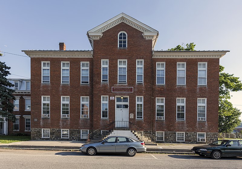
St. Euphemia's School, Emmitsburg, Maryland, USA
Summary
[edit]
| Description |
English: St. Euphemia's School, Emmitsburg, Maryland, USA
Français : École Sainte-Euphémie, Emmitsburg, Maryland, États-Unis |
| Date | |
| Source | Own work |
| Author | Acroterion |
| Camera location | | View this and other nearby images on: OpenStreetMap |
|---|
|
This is an image of a place or building that is listed on the National Register of Historic Places in the United States of America. Its reference number is 84001770. |
Licensing
[edit]
I, the copyright holder of this work, hereby publish it under the following license:
This file is licensed under the Creative Commons Attribution-Share Alike 4.0 International license.
- You are free:
- to share – to copy, distribute and transmit the work
- to remix – to adapt the work
- Under the following conditions:
- attribution – You must give appropriate credit, provide a link to the license, and indicate if changes were made. You may do so in any reasonable manner, but not in any way that suggests the licensor endorses you or your use.
- share alike – If you remix, transform, or build upon the material, you must distribute your contributions under the same or compatible license as the original.
File history
Click on a date/time to view the file as it appeared at that time.
| Date/Time | Thumbnail | Dimensions | User | Comment | |
|---|---|---|---|---|---|
| current | 02:24, 31 December 2019 | | 5,359 × 3,753 (10.62 MB) | Acroterion (talk | contribs) | Restore metadata |
| 03:38, 8 June 2014 |  | 5,359 × 3,753 (10.59 MB) | Acroterion (talk | contribs) | {{Information |Description ={{en|1=St. Euphemia's School, Emmitsburg, Maryland, USA}} |Source ={{own}} |Author =Acroterion |Date =2014-06-07 |Permission = |other_versions = }} [[Category:National Re... |
You cannot overwrite this file.
File usage on Commons
There are no pages that use this file.
File usage on other wikis
The following other wikis use this file:
- Usage on en.wikipedia.org
- Usage on www.wikidata.org
Metadata
Categories:
- National Register of Historic Places in Frederick County, Maryland
- Emmitsburg, Maryland
- Schools on the National Register of Historic Places in Maryland
- Former Roman Catholic schools in Maryland
- Apartment buildings on the National Register of Historic Places in Maryland
- Brick buildings in Maryland
- June 2014 in Maryland