File:Stdmapchina4.gif
Jump to navigation
Jump to search

Size of this preview: 707 × 600 pixels. Other resolutions: 283 × 240 pixels | 566 × 480 pixels | 905 × 768 pixels | 1,207 × 1,024 pixels | 2,504 × 2,125 pixels.
Original file (2,504 × 2,125 pixels, file size: 134 KB, MIME type: image/gif)
Captions
Captions
Add a one-line explanation of what this file represents

|
This map image could be re-created using vector graphics as an SVG file. This has several advantages; see Commons:Media for cleanup for more information. If an SVG form of this image is available, please upload it and afterwards replace this template with
{{vector version available|new image name}}.
It is recommended to name the SVG file “Stdmapchina4.svg”—then the template Vector version available (or Vva) does not need the new image name parameter. |

|
This map has been uploaded by Electionworld from zh.wikipedia.org to enable the |
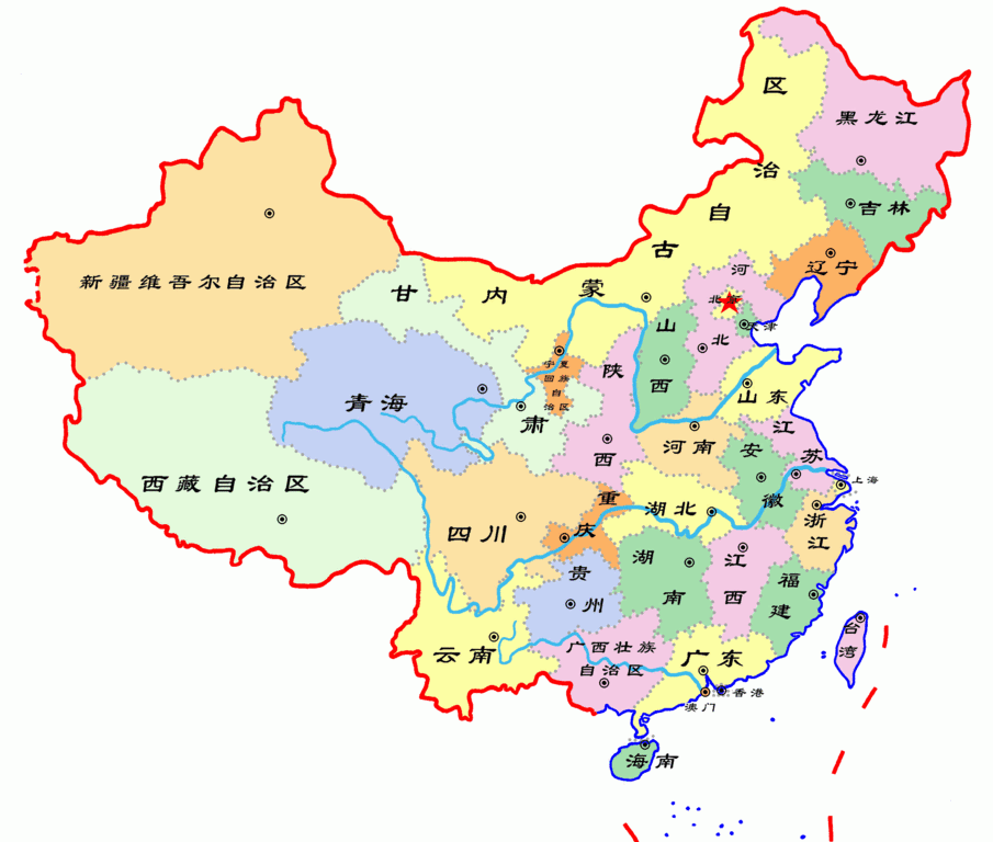
中国行政区划示意图,根据中国地图标准画法绘制

|
Permission is granted to copy, distribute and/or modify this document under the terms of the GNU Free Documentation License, Version 1.2 or any later version published by the Free Software Foundation; with no Invariant Sections, no Front-Cover Texts, and no Back-Cover Texts. A copy of the license is included in the section entitled GNU Free Documentation License. |
| This file is licensed under the Creative Commons Attribution-Share Alike 3.0 Unported license. | ||
| ||
| This licensing tag was added to this file as part of the GFDL licensing update. |
File history
Click on a date/time to view the file as it appeared at that time.
| Date/Time | Thumbnail | Dimensions | User | Comment | |
|---|---|---|---|---|---|
| current | 09:07, 25 January 2007 | | 2,504 × 2,125 (134 KB) | Electionworld (talk | contribs) | {{ew|zh|Shizhao}} 中国行政区划示意图,根据[http://nfgis.nsdi.gov.cn/nfgis/chinese/chinatest.htm 中国地图标准画法]绘制 {{GFDL}} |
You cannot overwrite this file.
File usage on Commons
There are no pages that use this file.
File usage on other wikis
The following other wikis use this file:
- Usage on zh-yue.wikipedia.org
- Usage on zh.wikipedia.org