File:Taunton Avenue, Sutton Leach, St.Helens - geograph.org.uk - 291491.jpg
Jump to navigation
Jump to search
No higher resolution available.
Taunton_Avenue,_Sutton_Leach,_St.Helens_-_geograph.org.uk_-_291491.jpg (640 × 427 pixels, file size: 60 KB, MIME type: image/jpeg)
Captions
Captions
Add a one-line explanation of what this file represents
Summary[edit]
| Description |
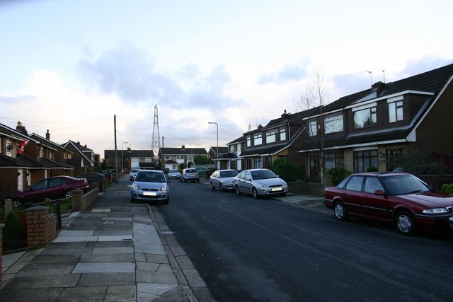
English: Taunton Avenue, Sutton Leach, St.Helens A view of Taunton Avenue looking South East towards Bold & Widnes.
Out of the picture and ahead some 5 miles away, the Fiddlers Ferry Power Station and the mudflats of the River Mersey. To the left a little, and some 6 miles Warrington, far right some 12 miles Liverpool, and far left 25 miles the city of Manchester. This area is on both flight lines for Liverpool & Manchester airports, planes fly reasonably low over this neck of the woods, but to be honest they don't cause any noise problems as they are normally on a glide path to land rather than take off. |
| Date | |
| Source | From geograph.org.uk |
| Author | Alan Pennington |
| Attribution (required by the license) | Alan Pennington / Taunton Avenue, Sutton Leach, St.Helens / |
| Object location | | View this and other nearby images on: OpenStreetMap |
|---|
_&language=en)
Licensing[edit]

|
This image was taken from the Geograph project collection. See this photograph's page on the Geograph website for the photographer's contact details. The copyright on this image is owned by Alan Pennington and is licensed for reuse under the Creative Commons Attribution-ShareAlike 2.0 license.
|
This file is licensed under the Creative Commons Attribution-Share Alike 2.0 Generic license.
Attribution: Alan Pennington
- You are free:
- to share – to copy, distribute and transmit the work
- to remix – to adapt the work
- Under the following conditions:
- attribution – You must give appropriate credit, provide a link to the license, and indicate if changes were made. You may do so in any reasonable manner, but not in any way that suggests the licensor endorses you or your use.
- share alike – If you remix, transform, or build upon the material, you must distribute your contributions under the same or compatible license as the original.
- Remove redundant categories and try to put this image in the most specific category/categories
- Remove this template
- The location categories are based on information from this geonames tool and this OpenStreetMap tool combined with a database. You can also have a look at this tool from mysociety.
- The topic category from Geograph was Road (find similar images at Geograph)
File history
Click on a date/time to view the file as it appeared at that time.
| Date/Time | Thumbnail | Dimensions | User | Comment | |
|---|---|---|---|---|---|
| current | 22:00, 14 December 2010 | | 640 × 427 (60 KB) | GeographBot (talk | contribs) | == {{int:filedesc}} == {{Information |description={{en|1=Taunton Avenue, Sutton Leach, St.Helens A view of Taunton Avenue looking South East towards Bold & Widnes. Out of the picture and ahead some 5 miles away, the Fiddlers Ferry Power Station and the |
You cannot overwrite this file.
File usage on Commons
There are no pages that use this file.