File:Thailand location relief map.svg
Jump to navigation
Jump to search

Size of this PNG preview of this SVG file: 341 × 600 pixels. Other resolutions: 136 × 240 pixels | 273 × 480 pixels | 436 × 768 pixels | 582 × 1,024 pixels | 1,164 × 2,048 pixels | 1,051 × 1,849 pixels.
Original file (SVG file, nominally 1,051 × 1,849 pixels, file size: 1.93 MB)
Captions
Captions
Relief map of Thailand
Summary[edit]
| Description |
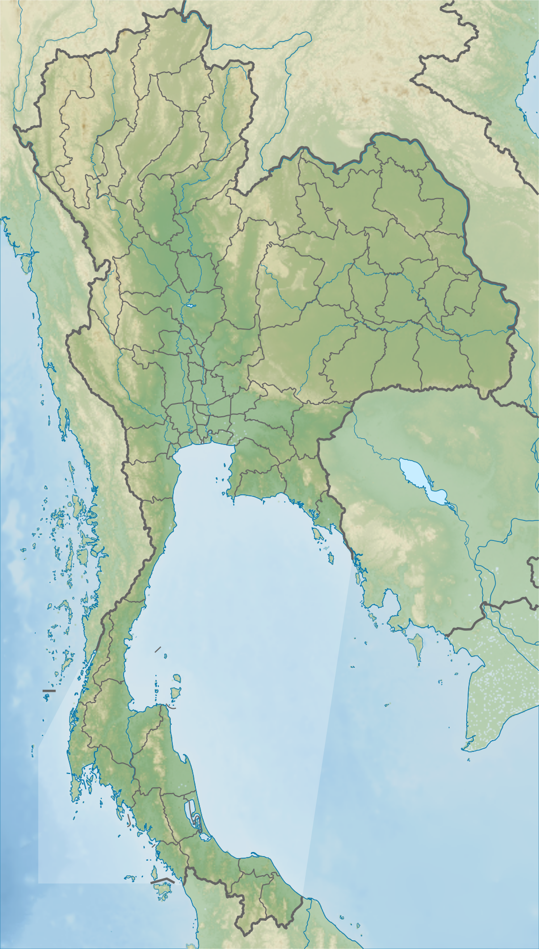
English: Relief map of Thailand. Topography from STRM30, bathymetry from GMRT, rivers from GSHHS. |
| Date | |
| Source | Derivative of Thailand adm location map.svg |
| Author | Own work based on Nordnordwest |
Licensing[edit]
This file is licensed under the Creative Commons Attribution-Share Alike 3.0 Unported license.
- You are free:
- to share – to copy, distribute and transmit the work
- to remix – to adapt the work
- Under the following conditions:
- attribution – You must give appropriate credit, provide a link to the license, and indicate if changes were made. You may do so in any reasonable manner, but not in any way that suggests the licensor endorses you or your use.
- share alike – If you remix, transform, or build upon the material, you must distribute your contributions under the same or compatible license as the original.
File history
Click on a date/time to view the file as it appeared at that time.
| Date/Time | Thumbnail | Dimensions | User | Comment | |
|---|---|---|---|---|---|
| current | 21:52, 18 November 2020 | | 1,051 × 1,849 (1.93 MB) | C1MM (talk | contribs) | Reordered layers |
| 21:48, 18 November 2020 |  | 1,051 × 1,849 (1.93 MB) | C1MM (talk | contribs) | Changed display so that no bright patch is present | |
| 21:38, 18 November 2020 |  | 1,051 × 1,849 (1.93 MB) | C1MM (talk | contribs) | Uploaded a work by Own work based on Nordnordwest from Derivative of Thailand adm location map.svg with UploadWizard |
You cannot overwrite this file.
File usage on Commons
The following 2 pages use this file:
File usage on other wikis
The following other wikis use this file:
- Usage on ca.wikipedia.org
- Usage on en.wikipedia.org
- Ban Chiang
- Doi Inthanon
- Sukhothai Historical Park
- Phuket International Airport
- Kra Isthmus
- Ayutthaya Historical Park
- Pak Mun Dam
- Songkhla Lake
- Three Pagodas Pass
- Royal Thai Navy
- Royal Thai Army
- Khao Sam Roi Yot National Park
- Mae Klong
- Mu Ko Ang Thong National Park
- Phayao Lake
- Nong Han Lake
- Cardamom Mountains
- Surin Islands
- Tai Romyen National Park
- Khao Tha Phet
- Phu Kradueng National Park
- Mu Ko Phetra National Park
- Thale Ban National Park
- Honda LPGA Thailand
- Volvo Masters of Asia
- Ban Non Wat
- Kaeng Krung National Park
- Spirit Cave (Thailand)
- Khlong Phanom National Park
- Buriram Airport
- Hat Khanom–Mu Ko Thale Tai National Park
- Si Phang Nga National Park
- Pa Sak Jolasid Dam
- Kaeng Krachan National Park
- Bangkok Airways Open
- Bueng Boraphet
- Khao Luang
- Than Sadet–Ko Pha-ngan National Park
- Nong Han Kumphawapi Lake
- Namtok Si Dit
- Kui Buri National Park
- Si Satchanalai Historical Park
- Vajiralongkorn Dam
- 300 Years Mosque
- Sirindhorn Waterfall
- Budo–Su-ngai Padi National Park
- Kamphaeng Phet Historical Park
- Historic Town of Sukhothai and Associated Historic Towns
View more global usage of this file.