File:The Meridian, Englewood, CO 2020-10-29.jpg
Jump to navigation
Jump to search
Size of this preview: 800 × 451 pixels. Other resolutions: 320 × 181 pixels | 640 × 361 pixels | 1,024 × 578 pixels | 1,280 × 722 pixels | 3,584 × 2,022 pixels.
Original file (3,584 × 2,022 pixels, file size: 2.02 MB, MIME type: image/jpeg)
Captions
Captions
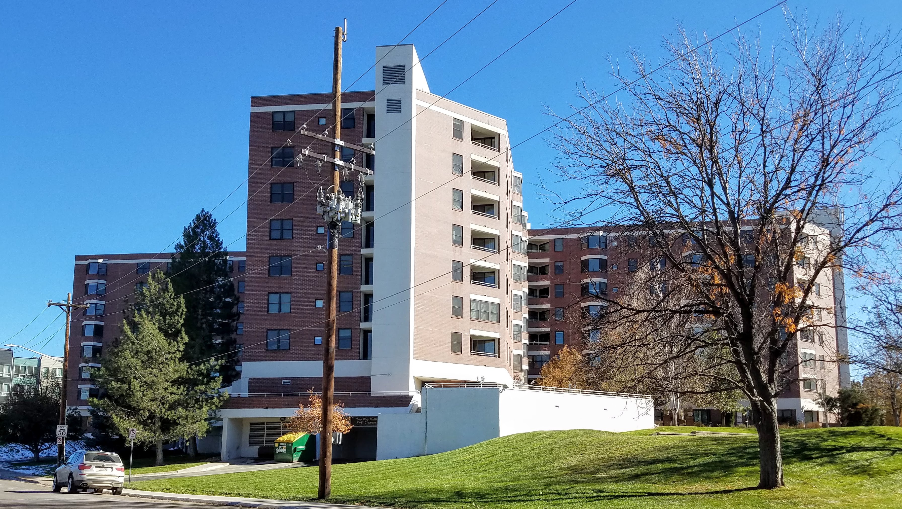
The Meridian, Englewood, CO
Summary[edit]
| Description |
English: The Meridian, Englewood, CO |
| Date | |
| Source | Own work |
| Author | Xnatedawgx |
| Camera location | | View this and other nearby images on: OpenStreetMap |
|---|
Licensing[edit]
I, the copyright holder of this work, hereby publish it under the following license:
This file is licensed under the Creative Commons Attribution-Share Alike 4.0 International license.
- You are free:
- to share – to copy, distribute and transmit the work
- to remix – to adapt the work
- Under the following conditions:
- attribution – You must give appropriate credit, provide a link to the license, and indicate if changes were made. You may do so in any reasonable manner, but not in any way that suggests the licensor endorses you or your use.
- share alike – If you remix, transform, or build upon the material, you must distribute your contributions under the same or compatible license as the original.
File history
Click on a date/time to view the file as it appeared at that time.
| Date/Time | Thumbnail | Dimensions | User | Comment | |
|---|---|---|---|---|---|
| current | 05:26, 25 February 2021 | | 3,584 × 2,022 (2.02 MB) | Xnatedawgx (talk | contribs) | Uploaded own work with UploadWizard |
You cannot overwrite this file.
File usage on Commons
There are no pages that use this file.
Metadata
Categories:
- Buildings in Englewood, Colorado
- High-rise apartment buildings in Colorado
- 23-49-meter-tall buildings in Colorado
- Modernist architecture in Colorado
- Red buildings in Colorado
- Built in Colorado in 1986
- High-rises in the United States built in 1986
- 29-meter-tall buildings in the United States
- Eight-story buildings in the United States