File:The Robertson Memorial, Dunstable Downs (geograph 5066835).jpg
Original file (889 × 1,333 pixels, file size: 1.34 MB, MIME type: image/jpeg)
Captions
Captions
Summary[edit]
.jpg&action=edit§ion=1)
| Description |
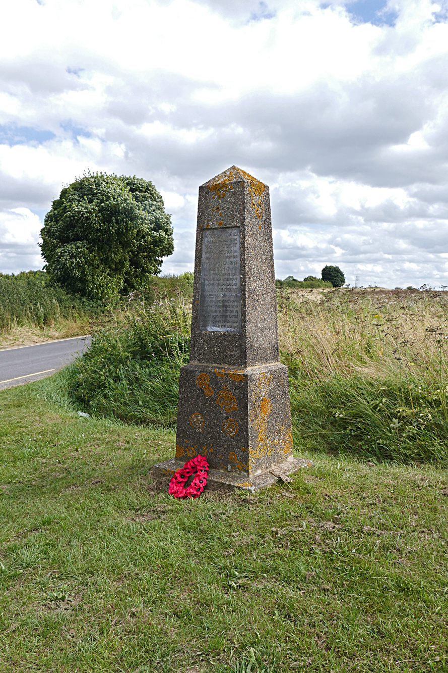
English: The Robertson Memorial, Dunstable Downs.
The Robertson Memorial at Robertson Corner at the junction of the B3451 with Isle Of Wight Lane. This memorial is one of nine identical memorials to the brothers of William Robertson, all created on National Trust sites to fulfil the Robertson bequest granted in 1940 after his death in 1937. Norman Cairns Robertson, a captain in the 2nd battalion the Hampshire Regiment, was wounded and taken prisoner on 23rd April 1917 during the fighting for Monchy-Le-Preux near Arras during the second battle of the Scarpe. he died on 20 June 1917 aged 40 in a military hospital in Hanover and is buried in a Hamburg cemetery. Laurance Grant Robertson a 2nd Lieutenant in the 2nd battalion of the Kings Own Scottish Borderers died aged 36 on the Somme Battlefield during an attack on a German stronghold in an orchard at the north end of Longueval village during the fighting for Delville Wood. There had been several attempts at dislodging the Germans from this stronghold in the days leading up to the 30th July. On that day the Kings Own Scottish Borderers led an attack under heavy shell fire from the Germans and managed to take the stronghold but were beaten back after 2 days. Lieutenant Robertson was killed during the initial assault but his body was never recovered. His name is on the Thiepval Monument to the missing.
|
|
| Date | ||
| Source | From geograph.org.uk | |
| Author | Alan Hunt | |
| Attribution (required by the license) | Alan Hunt / The Robertson Memorial, Dunstable Downs / | |
| Camera location | | View this and other nearby images on: OpenStreetMap |
|---|
.jpg¶ms=051.866767_N_-000.536285_E_globe:Earth_type:camera_heading:135.00_source:geograph&language=en)
| Object location | | View this and other nearby images on: OpenStreetMap |
|---|
.jpg¶ms=051.866720_N_-000.536100_E_globe:Earth_class:object_type:object_source:geograph-osgb36(TL00891969)_region:GB-GBN_heading:135.00&language=en)
Licensing[edit]
.jpg&action=edit§ion=2)

|
This image was taken from the Geograph project collection. See this photograph's page on the Geograph website for the photographer's contact details. The copyright on this image is owned by Alan Hunt and is licensed for reuse under the Creative Commons Attribution-ShareAlike 2.0 license.
|
- You are free:
- to share – to copy, distribute and transmit the work
- to remix – to adapt the work
- Under the following conditions:
- attribution – You must give appropriate credit, provide a link to the license, and indicate if changes were made. You may do so in any reasonable manner, but not in any way that suggests the licensor endorses you or your use.
- share alike – If you remix, transform, or build upon the material, you must distribute your contributions under the same or compatible license as the original.
File history
Click on a date/time to view the file as it appeared at that time.
| Date/Time | Thumbnail | Dimensions | User | Comment | |
|---|---|---|---|---|---|
| current | 11:48, 29 November 2016 | | 889 × 1,333 (1.34 MB) | Kelly (talk | contribs) | Transferred from geograph.co.uk using [https://tools.wmflabs.org/geograph2commons/ geograph2commons] |
You cannot overwrite this file.
File usage on Commons
The following page uses this file:
File usage on other wikis
The following other wikis use this file:
- Usage on www.wikidata.org
.jpg&oldid=721594204)