File:Thomas Kitchin. Composite Asia, islands according to d'Anville. 1787 (A).jpg
Jump to navigation
Jump to search

Size of this preview: 672 × 600 pixels. Other resolutions: 269 × 240 pixels | 538 × 480 pixels | 861 × 768 pixels | 1,207 × 1,077 pixels.
Original file (1,207 × 1,077 pixels, file size: 446 KB, MIME type: image/jpeg)
Captions
Captions
Add a one-line explanation of what this file represents
Summary[edit]
| Description |
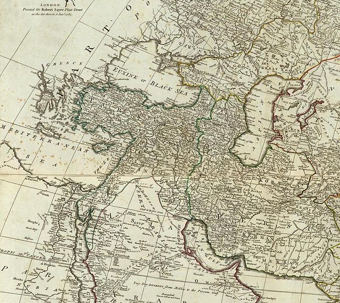
English: Composite of) Asia and its islands according to d'Anville; divided into empires, kingdoms, states, regions, &ca. with the European possessions and settlements in the East Indies and an exact delineation of all the discoveries made in the eastern parts by the English under Captn. Cook. (By Thomas Kitchin). London, printed for Robert Sayer, Fleet Street as the Act directs, 6 Jany. 1787 |
|||||||||||||||||||||||||||||||||||||||
| Date | ||||||||||||||||||||||||||||||||||||||||
| Source |
|
|||||||||||||||||||||||||||||||||||||||
| Author |
|
|||||||||||||||||||||||||||||||||||||||


.jpg&action=edit§ion=1)
Licensing[edit]
.jpg&action=edit§ion=2)
|
This is a faithful photographic reproduction of a two-dimensional, public domain work of art. The work of art itself is in the public domain for the following reason:
The official position taken by the Wikimedia Foundation is that "faithful reproductions of two-dimensional public domain works of art are public domain".
This photographic reproduction is therefore also considered to be in the public domain in the United States. In other jurisdictions, re-use of this content may be restricted; see Reuse of PD-Art photographs for details. | ||||
File history
Click on a date/time to view the file as it appeared at that time.
| Date/Time | Thumbnail | Dimensions | User | Comment | |
|---|---|---|---|---|---|
| current | 07:19, 24 August 2010 | | 1,207 × 1,077 (446 KB) | Geagea (talk | contribs) |
You cannot overwrite this file.
File usage on Commons
The following page uses this file:
File usage on other wikis
The following other wikis use this file:
- Usage on bs.wikipedia.org
- Usage on hr.wikipedia.org
- Usage on sh.wikipedia.org
Metadata
.jpg&oldid=803190393)
Categories:
- 1787 map of Asia by Thomas Kitchin
- 18th-century maps of the Black Sea
- 1780s maps of the Near East
- 1780s maps of the Caucasus
- 1787 maps of the Ottoman Empire
- 1780s maps of Iran
- 1787 maps of the Russian Empire
- 18th-century maps of the Caspian Sea
- 18th-century maps of Arabia
- Old maps showing the whole Near East
- Details of old maps