File:Topographic map of the barony of Fürstenstein. 1909.jpg
Jump to navigation
Jump to search
Size of this preview: 421 × 599 pixels. Other resolutions: 168 × 240 pixels | 595 × 847 pixels.
Original file (595 × 847 pixels, file size: 232 KB, MIME type: image/jpeg)
Captions
Captions
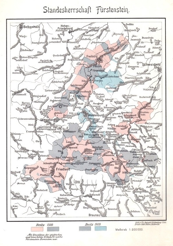
Topographic map of the barony of Fürstenstein. 1909.
Summary[edit]
| Description |
Deutsch: From: Zivier, Ezechiel. Fürstenstein 1509—1909. Festschrift zur Feier des 400 jährigen Besitzes der Freien Standesherrschaft Fürstenstein durch die Reichsgrafen von Hochberg. Gebrüder Böhm: Kattowitz, 1909. |
| Date | |
| Source | Zivier, Ezechiel. Fürstenstein 1509—1909. Festschrift zur Feier des 400 jährigen Besitzes der Freien Standesherrschaft Fürstenstein durch die Reichsgrafen von Hochberg. Gebrüder Böhm: Kattowitz, 1909. |
| Author | Unknown author |
Licensing[edit]
|
This work is in the public domain in its country of origin and other countries and areas where the copyright term is the author's life plus 70 years or fewer. This work is in the public domain in the United States because it was published (or registered with the U.S. Copyright Office) before January 1, 1929. | |
| This file has been identified as being free of known restrictions under copyright law, including all related and neighboring rights. | |
File history
Click on a date/time to view the file as it appeared at that time.
| Date/Time | Thumbnail | Dimensions | User | Comment | |
|---|---|---|---|---|---|
| current | 23:04, 23 February 2023 | | 595 × 847 (232 KB) | WWvH (talk | contribs) | Uploaded a work by unknown from Zivier, Ezechiel. Fürstenstein 1509—1909. Festschrift zur Feier des 400 jährigen Besitzes der Freien Standesherrschaft Fürstenstein durch die Reichsgrafen von Hochberg. Gebrüder Böhm: Kattowitz, 1909. with UploadWizard |
You cannot overwrite this file.
File usage on Commons
There are no pages that use this file.
File usage on other wikis
The following other wikis use this file:
- Usage on ru.wikipedia.org