File:Tour de France 2016, Stage 20 - Megève to Morzine-Avoriaz (28894644111) (cropped).jpg
Jump to navigation
Jump to search

Size of this preview: 516 × 599 pixels. Other resolutions: 207 × 240 pixels | 413 × 480 pixels | 661 × 768 pixels | 882 × 1,024 pixels | 2,365 × 2,746 pixels.
Original file (2,365 × 2,746 pixels, file size: 807 KB, MIME type: image/jpeg)
Captions
Captions
Add a one-line explanation of what this file represents
Summary[edit]
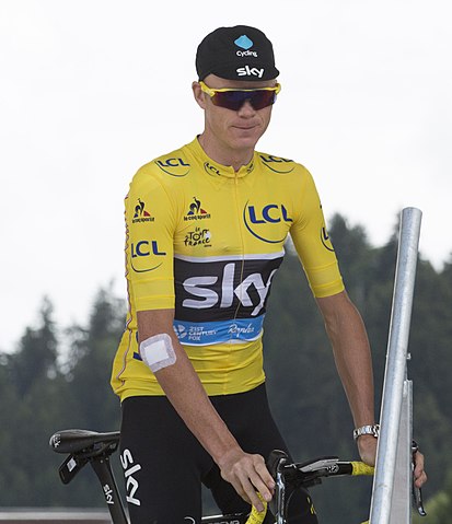
| Description | Chris Froome |
| Date | |
| Source | Stage 20 - Megève to Morzine-Avoriaz |
| Author | Bruce from Sydney, Australia |
| Other versions |
.jpg)
_(cropped).jpg&action=edit§ion=1)
| Camera location | | View this and other nearby images on: OpenStreetMap |
|---|
_(cropped).jpg¶ms=045.861055_N_0006.620233_E_globe:Earth_type:camera_source:Flickr_&language=en)
Licensing[edit]
_(cropped).jpg&action=edit§ion=2)
This file is licensed under the Creative Commons Attribution 2.0 Generic license.
- You are free:
- to share – to copy, distribute and transmit the work
- to remix – to adapt the work
- Under the following conditions:
- attribution – You must give appropriate credit, provide a link to the license, and indicate if changes were made. You may do so in any reasonable manner, but not in any way that suggests the licensor endorses you or your use.
File history
Click on a date/time to view the file as it appeared at that time.
| Date/Time | Thumbnail | Dimensions | User | Comment | |
|---|---|---|---|---|---|
| current | 13:02, 7 July 2017 | | 2,365 × 2,746 (807 KB) | BaldBoris (talk | contribs) | File:Tour de France 2016, Stage 20 - Megève to Morzine-Avoriaz (28894644111).jpg cropped 8 % horizontally and 18 % vertically using CropTool with lossless mode. |
You cannot overwrite this file.
File usage on Commons
The following page uses this file:
File usage on other wikis
The following other wikis use this file:
- Usage on en.wikipedia.org
- Usage on mk.wikipedia.org
- Usage on sh.wikipedia.org
- Usage on sk.wikipedia.org
- Usage on sr.wikipedia.org
- Usage on sv.wikipedia.org
_(cropped).jpg&oldid=837278579)