File:TsuchiuraMap.PNG
Jump to navigation
Jump to search
Size of this preview: 666 × 599 pixels. Other resolutions: 267 × 240 pixels | 533 × 480 pixels | 1,001 × 901 pixels.
Original file (1,001 × 901 pixels, file size: 53 KB, MIME type: image/png)
Captions
Captions
Add a one-line explanation of what this file represents
Summary[edit]
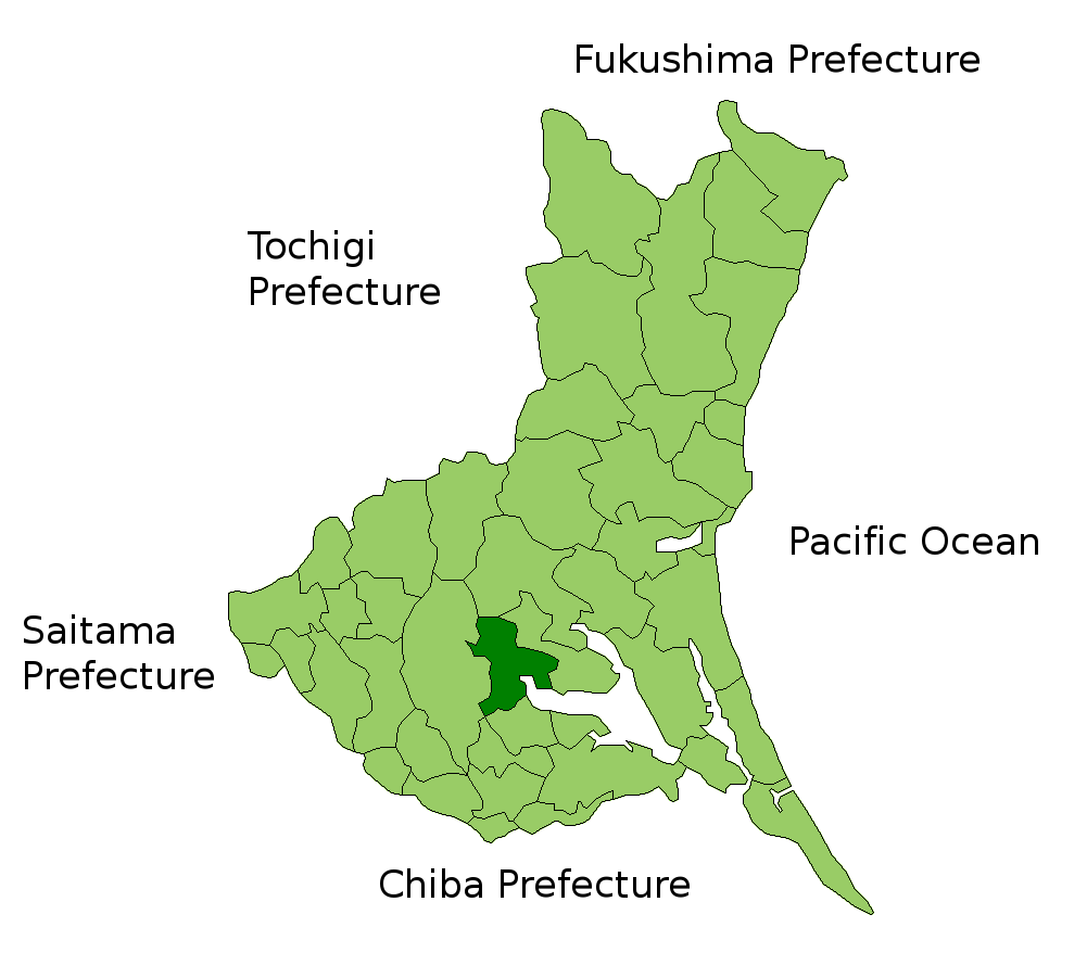
(altered from Map of Ibaraki Prefecture, Japan. Thanks to Aoki Shigenobu and [1])
Licensing[edit]
| I, the copyright holder of this work, release this work into the public domain. This applies worldwide. In some countries this may not be legally possible; if so: I grant anyone the right to use this work for any purpose, without any conditions, unless such conditions are required by law. |
File history
Click on a date/time to view the file as it appeared at that time.
| Date/Time | Thumbnail | Dimensions | User | Comment | |
|---|---|---|---|---|---|
| current | 00:24, 13 July 2007 | | 1,001 × 901 (53 KB) | Robko71 (talk | contribs) | (altered from Map of Ibaraki Prefecture, Japan. Thanks to Aoki Shigenobu and [http://aoki2.si.gunma-u.ac.jp/map/map.html]) |
You cannot overwrite this file.
File usage on Commons
There are no pages that use this file.