File:Typhoon Talas waves near Minamiawaji-shi, Hyogo Prefecture, Japan.jpg
Jump to navigation
Jump to search
Size of this preview: 800 × 531 pixels. Other resolutions: 320 × 213 pixels | 640 × 425 pixels | 1,024 × 680 pixels.
Original file (1,024 × 680 pixels, file size: 181 KB, MIME type: image/jpeg)
Captions
Captions
Add a one-line explanation of what this file represents
Summary[edit]
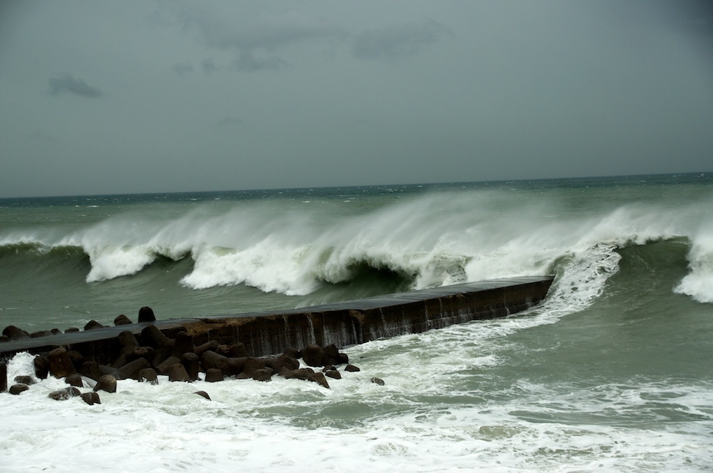
| Description | 2011 Typhoon 12 approaches |
| Date | |
| Source |
|
| Author | Stephen Wheeler from Sumoto, Japan |
| Camera location | | View this and other nearby images on: OpenStreetMap |
|---|
Licensing[edit]
This file is licensed under the Creative Commons Attribution 2.0 Generic license.
- You are free:
- to share – to copy, distribute and transmit the work
- to remix – to adapt the work
- Under the following conditions:
- attribution – You must give appropriate credit, provide a link to the license, and indicate if changes were made. You may do so in any reasonable manner, but not in any way that suggests the licensor endorses you or your use.
| This image, originally posted to Flickr, was reviewed on September 12, 2011 by the administrator or reviewer File Upload Bot (Magnus Manske), who confirmed that it was available on Flickr under the stated license on that date. |
File history
Click on a date/time to view the file as it appeared at that time.
| Date/Time | Thumbnail | Dimensions | User | Comment | |
|---|---|---|---|---|---|
| current | 09:48, 12 September 2011 | | 1,024 × 680 (181 KB) | File Upload Bot (Magnus Manske) (talk | contribs) | {{Information |Description=2011 Typhoon 12 approaches |Source=[http://www.flickr.com/photos/awajikiwi/6111865218/ 2011 Typhoon 12 approaches] * Uploaded by Matthiasb |Date=2011-09-02 15:18 |Author=[http://www.flickr.com/people/79116913@ |
You cannot overwrite this file.
File usage on Commons
The following page uses this file:
- File:2011 Typhoon 12 approaches (6111865218).jpg (file redirect)
.jpg&redirect=no)