File:Vendoire 24 Église vue N-NE 2012.jpg
Jump to navigation
Jump to search

Size of this preview: 800 × 531 pixels. Other resolutions: 320 × 213 pixels | 640 × 425 pixels | 1,024 × 680 pixels | 1,280 × 850 pixels | 2,560 × 1,701 pixels | 3,938 × 2,616 pixels.
Original file (3,938 × 2,616 pixels, file size: 6.27 MB, MIME type: image/jpeg)
Captions
Captions
Add a one-line explanation of what this file represents
Summary[edit]
| Description |
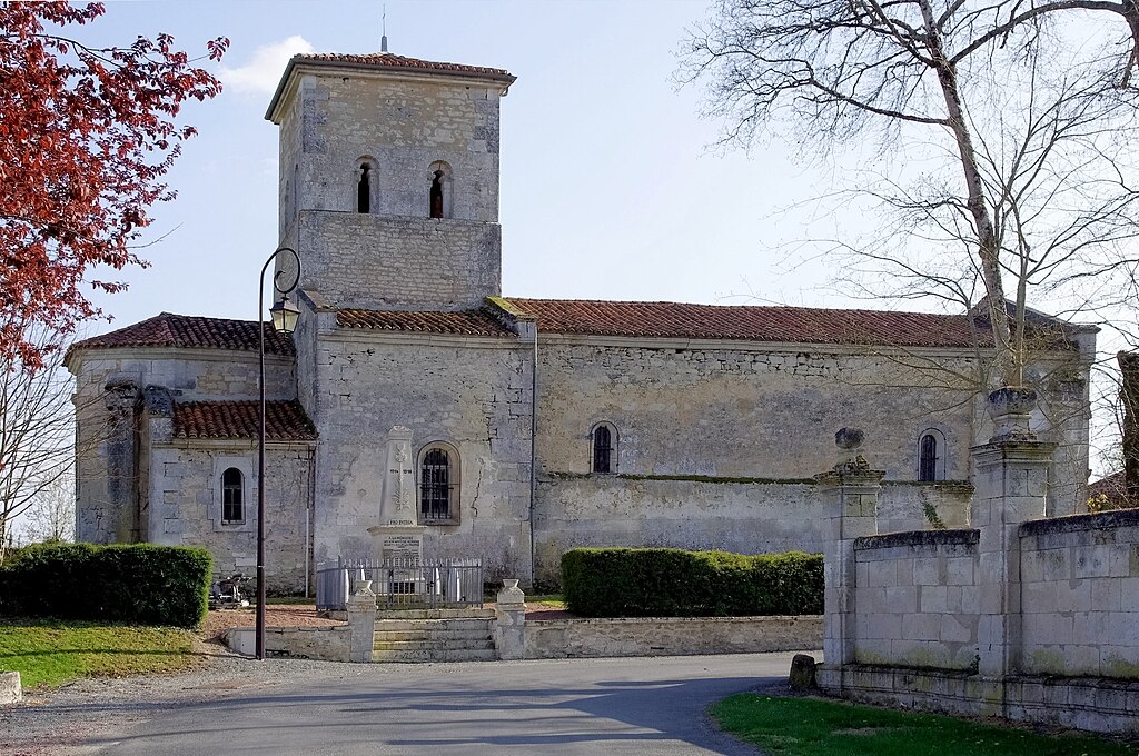
Français : Église, vue nord-nord-est, et monument aux morts de Vendoire Dordogne, France.
English: N-NE view of the church and War memorial, Vendoire, Dordogne, France. |
| Date | |
| Source | Own work |
| Author | |
| Attribution (required by the license) | Photo: JLPC / Wikimedia Commons / |
| Permission (Reusing this file) |
I, the copyright holder of this work, hereby publish it under the following license: This file is licensed under the Creative Commons Attribution-Share Alike 3.0 Unported license.
|
| Object location | | View this and other nearby images on: OpenStreetMap |
|---|
| Camera location | | View this and other nearby images on: OpenStreetMap |
|---|

|
This image has been assessed under the valued image criteria and is considered the most valued image on Commons within the scope: Church of Vendoire, Dordogne, France, exterior, N-NE view. You can see its nomination here. |
File history
Click on a date/time to view the file as it appeared at that time.
| Date/Time | Thumbnail | Dimensions | User | Comment | |
|---|---|---|---|---|---|
| current | 10:55, 6 August 2014 | | 3,938 × 2,616 (6.27 MB) | JLPC (talk | contribs) | CAs & perspective |
| 13:55, 7 April 2012 |  | 3,936 × 2,624 (2.02 MB) | JLPC (talk | contribs) |
You cannot overwrite this file.
File usage on Commons
The following 4 pages use this file:
File usage on other wikis
The following other wikis use this file:
- Usage on de.wikipedia.org
- Usage on fr.wikipedia.org