File:View along the Bure towards Mayton Bridge - geograph.org.uk - 1273165.jpg
Jump to navigation
Jump to search
No higher resolution available.
View_along_the_Bure_towards_Mayton_Bridge_-_geograph.org.uk_-_1273165.jpg (640 × 480 pixels, file size: 101 KB, MIME type: image/jpeg)
Captions
Captions
Add a one-line explanation of what this file represents
Summary[edit]
| Description |
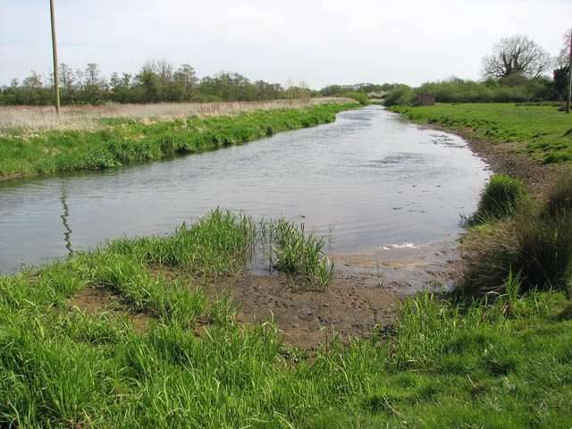
English: View along the Bure towards Mayton Bridge The river bank at right has been levelled so that the cattle populating this pasture can safely drink here.
The River Bure rises near Melton Constable, 18 kilometres miles upstream of Aylsham, which was the original head of navigation. It flows into the North Sea by Breydon Water near Gorleston, further to the southeast. A special type of trading wherry, called the Bure wherry, was used on this river. |
| Date | |
| Source | From geograph.org.uk |
| Author | Evelyn Simak |
| Attribution (required by the license) | Evelyn Simak / View along the Bure towards Mayton Bridge / |
| Camera location | | View this and other nearby images on: OpenStreetMap |
|---|
_heading:112.00&language=en)
| Object location | | View this and other nearby images on: OpenStreetMap |
|---|
_heading:112.00&language=en)
Licensing[edit]

|
This image was taken from the Geograph project collection. See this photograph's page on the Geograph website for the photographer's contact details. The copyright on this image is owned by Evelyn Simak and is licensed for reuse under the Creative Commons Attribution-ShareAlike 2.0 license.
|
This file is licensed under the Creative Commons Attribution-Share Alike 2.0 Generic license.
Attribution: Evelyn Simak
- You are free:
- to share – to copy, distribute and transmit the work
- to remix – to adapt the work
- Under the following conditions:
- attribution – You must give appropriate credit, provide a link to the license, and indicate if changes were made. You may do so in any reasonable manner, but not in any way that suggests the licensor endorses you or your use.
- share alike – If you remix, transform, or build upon the material, you must distribute your contributions under the same or compatible license as the original.
File history
Click on a date/time to view the file as it appeared at that time.
| Date/Time | Thumbnail | Dimensions | User | Comment | |
|---|---|---|---|---|---|
| current | 04:22, 27 February 2011 | | 640 × 480 (101 KB) | GeographBot (talk | contribs) | == {{int:filedesc}} == {{Information |description={{en|1=View along the Bure towards Mayton Bridge The river bank at right has been levelled so that the cattle populating this pasture can safely drink here. The River Bure rises near Melton Constable |
You cannot overwrite this file.
File usage on Commons
There are no pages that use this file.