File:WWI, Military cemetery No. 175 Poręba Radlna, Poręba Radlna village, Tarnów county, Lesser Poland Voivodeship, Poland.jpg
Jump to navigation
Jump to search

Size of this preview: 800 × 534 pixels. Other resolutions: 320 × 214 pixels | 640 × 427 pixels | 1,024 × 684 pixels | 1,280 × 855 pixels | 2,560 × 1,709 pixels | 4,484 × 2,994 pixels.
Original file (4,484 × 2,994 pixels, file size: 4.9 MB, MIME type: image/jpeg)
Captions
Captions
Add a one-line explanation of what this file represents
Summary[edit]
| Description |
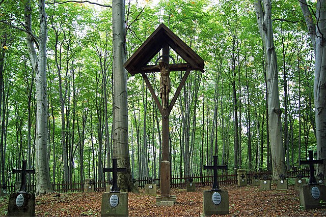
English: WWI, Military cemetery No. 175 Poręba Radlna, Poręba Radlna village, Tarnów county, Lesser Poland Voivodeship, Poland
Deutsch: Erste Weltkrieg, Kriegerfriedhof Nr 175 Poręba Radlna, Dorf Poręba Radlna, Landkreis Tarnów, Woiwodschaft Kleinpolen, Polen
Polski: I wojna światowa, Cmentarz wojenny nr 175 Poręba Radlna, Poręba Radlna powiat tarnowski, Małopolska
Русский: Первая мировая война, Военное кладбище № 175 Поремба-Радльна, cело Поремба-Радльна, Тарнувский повят, Малопольское воеводство, Польша |
| Date | |
| Source | Own work |
| Author | Zygmunt Put Zetpe0202 |
| Camera location | | View this and other nearby images on: OpenStreetMap |
|---|

|
This image was uploaded as part of Wiki Loves Monuments 2013.
|
Licensing[edit]
I, the copyright holder of this work, hereby publish it under the following licenses:

|
Permission is granted to copy, distribute and/or modify this document under the terms of the GNU Free Documentation License, Version 1.2 or any later version published by the Free Software Foundation; with no Invariant Sections, no Front-Cover Texts, and no Back-Cover Texts. A copy of the license is included in the section entitled GNU Free Documentation License. |
This file is licensed under the Creative Commons Attribution-Share Alike 4.0 International, 3.0 Unported, 2.5 Generic, 2.0 Generic and 1.0 Generic license.
- You are free:
- to share – to copy, distribute and transmit the work
- to remix – to adapt the work
- Under the following conditions:
- attribution – You must give appropriate credit, provide a link to the license, and indicate if changes were made. You may do so in any reasonable manner, but not in any way that suggests the licensor endorses you or your use.
- share alike – If you remix, transform, or build upon the material, you must distribute your contributions under the same or compatible license as the original.
You may select the license of your choice.
File history
Click on a date/time to view the file as it appeared at that time.
| Date/Time | Thumbnail | Dimensions | User | Comment | |
|---|---|---|---|---|---|
| current | 12:57, 29 September 2013 | | 4,484 × 2,994 (4.9 MB) | Zetpe0202 (talk | contribs) | {{Information |Description ={{en|1=WWI, Military cemetery No. 175 Poręba Radlna, Poręba Radlna village, Tarnów county, Lesser Poland Voivodeship, Poland}} {{de|1=Ersten Weltkrieg, Kriegerfriedhof Nr 175 Poręba Radlna, Dorf Poręba Radlna, Landkr... |
You cannot overwrite this file.
File usage on Commons
The following page uses this file:
File usage on other wikis
The following other wikis use this file:
- Usage on pl.wikipedia.org
- Usage on www.wikidata.org