File:West Bank and Gaza Strip location map - whole Israel.svg
Jump to navigation
Jump to search

Size of this PNG preview of this SVG file: 322 × 598 pixels. Other resolutions: 129 × 240 pixels | 258 × 480 pixels | 413 × 768 pixels | 551 × 1,024 pixels | 1,102 × 2,048 pixels | 614 × 1,141 pixels.
Original file (SVG file, nominally 614 × 1,141 pixels, file size: 129 KB)
Captions
Captions
Add a one-line explanation of what this file represents
Summary[edit]
| Description |
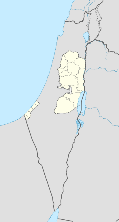
Deutsch: Positionskarte der Palästinensische Autonomiegebiete bzw. von Westjordanland und Gazastreifen
Quadratische Plattkarte, N-S-Streckung 115 %. Geographische Begrenzung der Karte:
English: Location map of the Palestinian territories (West Bank and Gaza Strip), also showing the whole territory of Israel. De facto situation.
Equirectangular projection, N/S stretching 115%. Geographic limits of the map:
|
| Date | |
| Source | Derived from File:West Bank and Gaza Strip location map.svg (West Bank and Gaza Strip shapes, and subdivision boundaries) and File:Israel location map.svg (rest of the map) |
| Author |
|
| SVG development |
Licensing[edit]
This file is licensed under the Creative Commons Attribution-Share Alike 3.0 Unported license.
- You are free:
- to share – to copy, distribute and transmit the work
- to remix – to adapt the work
- Under the following conditions:
- attribution – You must give appropriate credit, provide a link to the license, and indicate if changes were made. You may do so in any reasonable manner, but not in any way that suggests the licensor endorses you or your use.
- share alike – If you remix, transform, or build upon the material, you must distribute your contributions under the same or compatible license as the original.
File history
Click on a date/time to view the file as it appeared at that time.
| Date/Time | Thumbnail | Dimensions | User | Comment | |
|---|---|---|---|---|---|
| current | 21:21, 2 January 2017 | | 614 × 1,141 (129 KB) | DmitTrix (talk | contribs) | User created page with UploadWizard |
You cannot overwrite this file.
File usage on Commons
The following page uses this file: