File:Whangarei Territorial Authority.PNG
Jump to navigation
Jump to search
No higher resolution available.
Whangarei_Territorial_Authority.PNG (246 × 352 pixels, file size: 7 KB, MIME type: image/png)
Captions
Captions
Add a one-line explanation of what this file represents
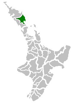
(Location map of the Whangarei Territorial Authority, New Zealand)
| |
This work has been released into the public domain by its author, Tom the Boffin, at the English Wikipedia project. This applies worldwide. In case this is not legally possible: |
Uploaded to Commons by user:PerPlex:
File history
Click on a date/time to view the file as it appeared at that time.
| Date/Time | Thumbnail | Dimensions | User | Comment | |
|---|---|---|---|---|---|
| current | 16:38, 1 July 2007 | | 246 × 352 (7 KB) | PerPlex (talk | contribs) | (Location map of the Hokianga Harbour, New Zealand) {{PD-user-w|en|English Wikipedia|Tom the Boffin}} Uploaded to Commons by user:PerPlex: Category:New Zealand Category:Maps of New Zealand |
You cannot overwrite this file.
File usage on Commons
The following page uses this file:
File usage on other wikis
The following other wikis use this file:
- Usage on ca.wikipedia.org
- Usage on it.wikipedia.org
- Usage on ms.wikipedia.org
- Usage on nn.wikipedia.org
- Usage on pnb.wikipedia.org
- Usage on sv.wikipedia.org
- Usage on www.wikidata.org
- Usage on zh.wikipedia.org