File:Wiehl Karte.png
Jump to navigation
Jump to search

Size of this preview: 595 × 600 pixels. Other resolutions: 238 × 240 pixels | 476 × 480 pixels | 720 × 726 pixels.
Original file (720 × 726 pixels, file size: 135 KB, MIME type: image/png)
Captions
Captions
Add a one-line explanation of what this file represents
Summary
[edit]
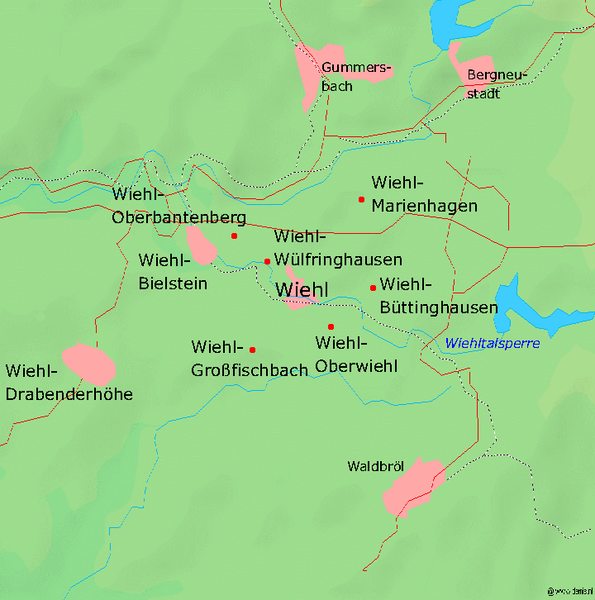
| Description | Karte der oberbergischen Stadt de:Wiehl und Umgebung, Kartenquelle: [1], |
| Date | 10 November 2004 (original upload date) |
| Source | Transferred from de.wikipedia to Commons. |
| Author | The original uploader was Markus Schweiß at German Wikipedia. |
Licensing
[edit]

|
Permission is granted to copy, distribute and/or modify this document under the terms of the GNU Free Documentation License, Version 1.2 or any later version published by the Free Software Foundation; with no Invariant Sections, no Front-Cover Texts, and no Back-Cover Texts. A copy of the license is included in the section entitled GNU Free Documentation License. |
| This file is licensed under the Creative Commons Attribution-Share Alike 3.0 Unported license. | ||
| ||
| This licensing tag was added to this file as part of the GFDL licensing update. |
Original upload log
[edit]
The original description page was here. All following user names refer to de.wikipedia.
- 2004-11-12 19:16 Markus Schweiß 720×726×8 (137731 bytes) Korrektur, {{Bild-GFDL}}
- 2004-11-12 19:11 Markus Schweiß 720×726×8 (137731 bytes) Korrektur, {{Bild-GFDL}
- 2004-11-10 17:54 Markus Schweiß 0×0×0 (137608 bytes) Karte der oberbergischen Stadt [[Wiehl]] und Umgebung, Kartenquelle: [ http://www.demis.nl/mapserver/mapper.asp], {{Bild-GFDL}}
File history
Click on a date/time to view the file as it appeared at that time.
| Date/Time | Thumbnail | Dimensions | User | Comment | |
|---|---|---|---|---|---|
| current | 05:44, 15 September 2007 | | 720 × 726 (135 KB) | Hanhil (talk | contribs) | {{Information |Description=Karte der oberbergischen Stadt de:Wiehl und Umgebung, Kartenquelle: [ http://www.demis.nl/mapserver/mapper.asp], |Source=Originally from [http://de.wikipedia.org de.wikipedia]; description page is/was [http://de.wikipedia.o |
You cannot overwrite this file.
File usage on Commons
There are no pages that use this file.
File usage on other wikis
The following other wikis use this file:
- Usage on de.wikipedia.org