File:World borders mpr.png
Jump to navigation
Jump to search

Size of this preview: 649 × 599 pixels. Other resolutions: 260 × 240 pixels | 520 × 480 pixels | 832 × 768 pixels | 1,109 × 1,024 pixels | 2,003 × 1,850 pixels.
Original file (2,003 × 1,850 pixels, file size: 457 KB, MIME type: image/png)
Captions
Captions
Add a one-line explanation of what this file represents
Summary[edit]
| Description |
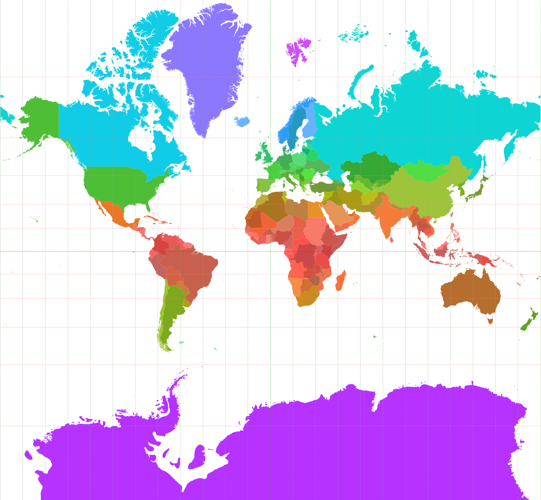
Nederlands: Staatkundige kaart van de Wereld in Mercatorprojectie met kleuren die varieren met de breedtegraad.
English: Political map of the World in Mercator projection with colours that vary with latitude. |
| Date | |
| Source | world_borders.shp; "The world_borders.zip dataset is Shapefile of the world's international borders, derived by Schuyler Erle from public domain sources." |
| Author | productie van de afbeelding uit het .shp-bestand: Koenb at Dutch Wikipedia |
Licensing[edit]
| This work has been released into the public domain by its author, Koenb at Dutch Wikipedia. This applies worldwide. In some countries this may not be legally possible; if so: Koenb grants anyone the right to use this work for any purpose, without any conditions, unless such conditions are required by law. |
Original upload log[edit]
The original description page was here. All following user names refer to nl.wikipedia.
- 2006-11-29 16:17 Koenb 2003×1850×8 (468147 bytes)
- 2006-11-25 22:39 Koenb 2008×1856×8 (487109 bytes) {{Information| |Description=Staatkundige kaart van de Wereld in Mercatorprojectie met kleuren die varieren met de breedtegraad |Source=world_borders.shp; "The world_borders.zip dataset is Shapefile of the world's international borders, derived by Schuyler
File history
Click on a date/time to view the file as it appeared at that time.
| Date/Time | Thumbnail | Dimensions | User | Comment | |
|---|---|---|---|---|---|
| current | 14:28, 14 December 2007 | | 2,003 × 1,850 (457 KB) | BotMultichill (talk | contribs) | {{BotMoveToCommons|nl.wikipedia}} {{Information |Description={{nl|Staatkundige kaart van de Wereld in Mercatorprojectie met kleuren die varieren met de breedtegraad}} |Source=Transfered from [http://nl.wikipedia.org nl.wikipedia]<br/> (Original text : ' |
You cannot overwrite this file.
File usage on Commons
The following page uses this file:
File usage on other wikis
The following other wikis use this file:
- Usage on ar.wikipedia.org
- Usage on ast.wikipedia.org
- Usage on bn.wikipedia.org
- Usage on nl.wikipedia.org
- Usage on www.wikidata.org