File:Yam-Izhora field-gun (back) and firing line (View from west).jpg
Jump to navigation
Jump to search

Size of this preview: 800 × 508 pixels. Other resolutions: 320 × 203 pixels | 640 × 406 pixels | 1,024 × 650 pixels | 1,280 × 812 pixels | 2,944 × 1,868 pixels.
Original file (2,944 × 1,868 pixels, file size: 5.89 MB, MIME type: image/jpeg)
Captions
Captions
Add a one-line explanation of what this file represents
| Description |
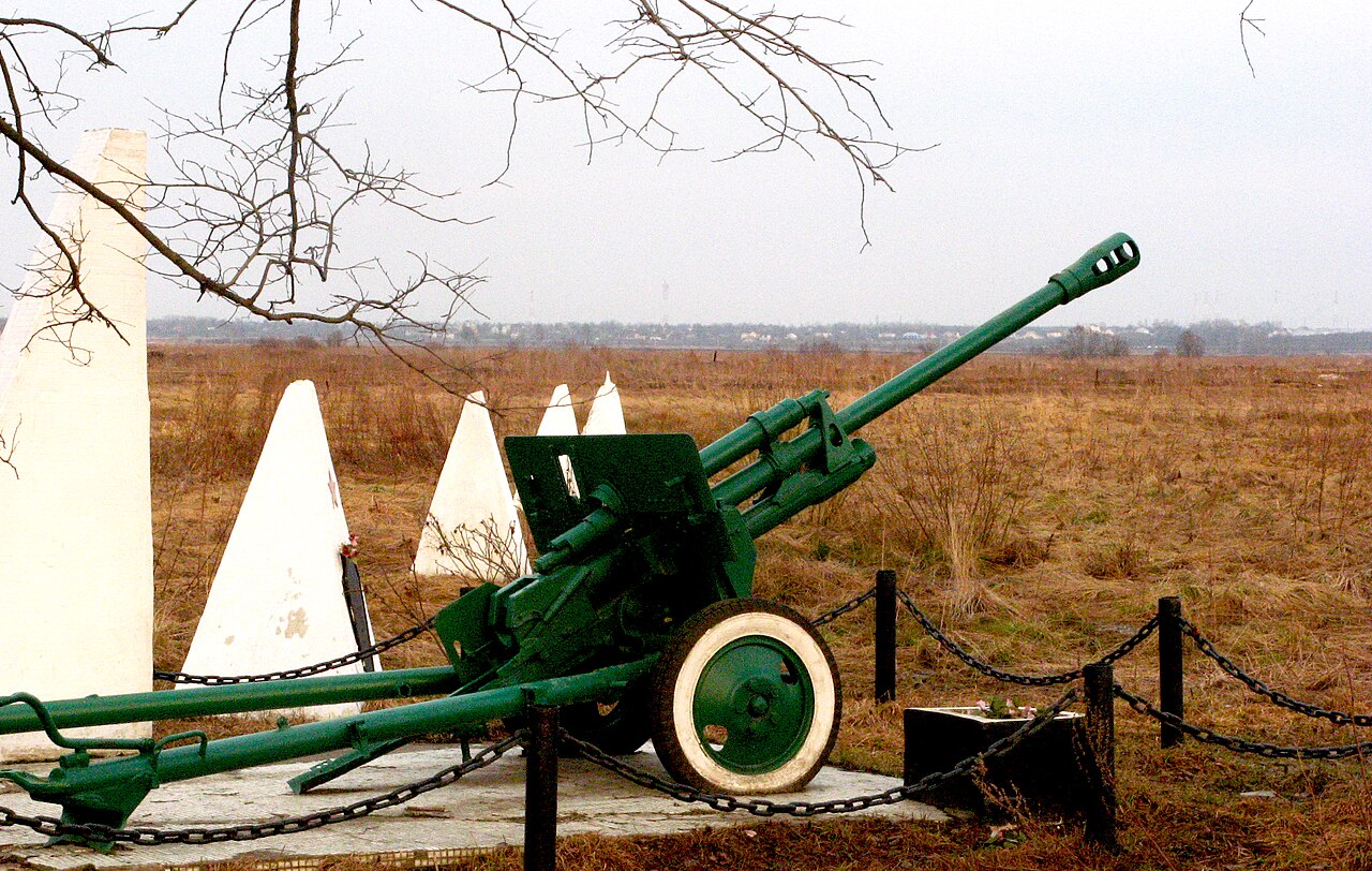
Русский: Пушка и надолбы. Памятник: "Передний край обороны г. Ленинграда. 1941-44 г". Деревня Ям-Ижора, Тельмано, под Санкт-Петербургом, Россия.
English: Gun and anti-tank obstacles. The monument: "Leading edge of defence of the Leningrad. 1941-44 years", Tosnensky District, Russia. |
||||||||||||||||
| Date | |||||||||||||||||
| Source | Own work | ||||||||||||||||
| Author |
|
||||||||||||||||
| Permission (Reusing this file) |
|
||||||||||||||||
| Other versions |
_and_firing_line_(View_from_west)_bw.jpg) |
||||||||||||||||
| Camera location | | View this and other nearby images on: OpenStreetMap |
|---|
_and_firing_line_(View_from_west).jpg¶ms=059.713323_N_0030.603409_E_globe:Earth_type:camera_source:exif_heading:154.72&language=en)
File history
Click on a date/time to view the file as it appeared at that time.
| Date/Time | Thumbnail | Dimensions | User | Comment | |
|---|---|---|---|---|---|
| current | 09:08, 30 January 2013 | | 2,944 × 1,868 (5.89 MB) | Slick-o-bot (talk | contribs) | Bot: convert to a non-interlaced jpeg (see bug #17645) |
| 19:34, 9 May 2010 |  | 2,944 × 1,868 (5.34 MB) | AKA MBG (talk | contribs) | {{Information |Description= {{ru|Пушка и надолбы. Памятник: "Передний край обороны г. Ленинграда. 1941-44 г". Деревня Ям-Ижора, [[w:ru:Тельмановское сельское посе� |
You cannot overwrite this file.
File usage on Commons
The following 2 pages use this file:
File usage on other wikis
The following other wikis use this file:
- Usage on ru.wikivoyage.org
- Usage on www.wikidata.org
_and_firing_line_(View_from_west).jpg&oldid=865631799)