File:Zamok grafiv Shenborniv 01.jpg
Jump to navigation
Jump to search
Size of this preview: 800 × 495 pixels. Other resolutions: 320 × 198 pixels | 640 × 396 pixels | 1,200 × 742 pixels.
Original file (1,200 × 742 pixels, file size: 249 KB, MIME type: image/jpeg)
Captions
Captions
Add a one-line explanation of what this file represents
Summary[edit]
| Description |
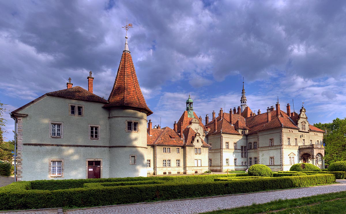
Українська: Палац графів Шенборнів у селі Карпати (Чинадіївська селищна рада, Мукачівський район, Закарпатська область)
English: Schoenborn Palace (Castle Beregvar), Zakarpattia Oblast, Ukraine
|
||
| Date | |||
| Source | Замок Шенборна, Чинадиево (author's website) | ||
| Author | Oleg Zharii / Олег Жарій | ||
| Permission (Reusing this file) |
This file is licensed under the Creative Commons Attribution-Share Alike 3.0 Unported license.
|
| Object location | | View this and other nearby images on: OpenStreetMap |
|---|
Licensing[edit]
This file is licensed under the Creative Commons Attribution-Share Alike 3.0 Unported license.
- You are free:
- to share – to copy, distribute and transmit the work
- to remix – to adapt the work
- Under the following conditions:
- attribution – You must give appropriate credit, provide a link to the license, and indicate if changes were made. You may do so in any reasonable manner, but not in any way that suggests the licensor endorses you or your use.
- share alike – If you remix, transform, or build upon the material, you must distribute your contributions under the same or compatible license as the original.

|
This image was uploaded as part of Wiki Loves Monuments 2012.
|
 |
File history
Click on a date/time to view the file as it appeared at that time.
| Date/Time | Thumbnail | Dimensions | User | Comment | |
|---|---|---|---|---|---|
| current | 10:27, 27 November 2013 | | 1,200 × 742 (249 KB) | Ahonc (talk | contribs) | from http://zharii.kiev.ua/old/ukraine/zakar/01.jpg |
| 12:32, 28 September 2012 |  | 800 × 494 (170 KB) | Ivanko 2002 (talk | contribs) | User created page with UploadWizard |
You cannot overwrite this file.
File usage on Commons
The following 2 pages use this file:
File usage on other wikis
The following other wikis use this file:
- Usage on be.wikipedia.org
- Usage on ca.wikipedia.org
- Usage on es.wikipedia.org
- Usage on fr.wikipedia.org
- Usage on hu.wikipedia.org
- Usage on it.wikivoyage.org
- Usage on pl.wikipedia.org
- Usage on ru.wikipedia.org
- Usage on ua.wikimedia.org
- Usage on uk.wikipedia.org
- Замки України
- Замок Паланок
- Ужгородський замок
- Невицький замок
- Бронецький замок
- Хустський замок
- Середнянський замок
- Список замків України
- Чинадіївський замок
- Квасівський замок
- Виноградівський замок
- Палац графів Шенборнів
- Палац Перені (Виноградів)
- Шаблон:Замки та палаци Закарпатської області
- Вікіпедія:Проєкт:Закарпаття
- Шаблон:Вікіпроєкт-Закарпаття-шапка
- Вікіпедія:Проєкт:Закарпаття/Берегове
- Вікіпедія:Проєкт:Закарпаття/Ужгород
- Вікіпедія:Проєкт:Закарпаття/Хуст
- Вікіпедія:Проєкт:Закарпаття/Чоп
- Вікіпедія:Проєкт:Закарпаття/Берегівський район
- Вікіпедія:Проєкт:Закарпаття/Великоберезнянський район
- Вікіпедія:Проєкт:Закарпаття/Виноградівський район
- Вікіпедія:Проєкт:Закарпаття/Воловецький район
View more global usage of this file.