File:Autoroute A10 FR 2.svg
Jump to navigation
Jump to search

Size of this PNG preview of this SVG file: 500 × 400 pixels. Other resolutions: 300 × 240 pixels | 600 × 480 pixels | 960 × 768 pixels | 1,280 × 1,024 pixels | 2,560 × 2,048 pixels.
Original file (SVG file, nominally 500 × 400 pixels, file size: 118 KB)
Captions
Captions
Add a one-line explanation of what this file represents
Summary[edit]
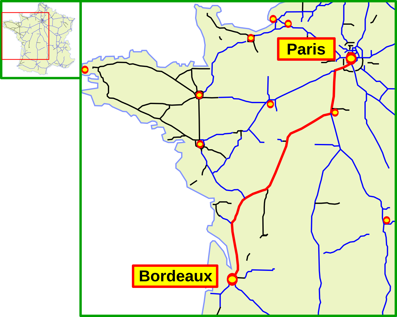
| Description | Mapa de la Autoroute A10 (Francia). Es una copia del mapa Image:Autoroute A10 FR.svg,del usuario madcap, cambiando los topónimos tradicionales en polaco por topónimos franceses. |
| Date | 5 August 2006 (original upload date) |
| Source | No machine-readable source provided. Own work assumed (based on copyright claims). |
| Author | No machine-readable author provided. Mortadelo2005 assumed (based on copyright claims). |
Licensing[edit]
| I, the copyright holder of this work, release this work into the public domain. This applies worldwide. In some countries this may not be legally possible; if so: I grant anyone the right to use this work for any purpose, without any conditions, unless such conditions are required by law. |
File history
Click on a date/time to view the file as it appeared at that time.
| Date/Time | Thumbnail | Dimensions | User | Comment | |
|---|---|---|---|---|---|
| current | 13:32, 5 August 2006 | | 500 × 400 (118 KB) | Mortadelo2005 (talk | contribs) | Mapa de la Autoroute A10 (Francia). Es una copia del mapa Image:Autoroute A10 FR.svg,del usuario madcap, cambiando los topónimos tradicionales en polaco por topónimos franceses. category:roads in France |
You cannot overwrite this file.
File usage on Commons
There are no pages that use this file.
File usage on other wikis
The following other wikis use this file:
- Usage on es.wikipedia.org
- Usage on fr.wikipedia.org
- Usage on it.wikipedia.org
- Usage on ja.wikipedia.org
- Usage on pt.wikipedia.org
- Usage on zh.wikipedia.org