File:Bolkar satellite.png
Jump to navigation
Jump to search

Size of this preview: 800 × 474 pixels. Other resolutions: 320 × 190 pixels | 640 × 379 pixels | 1,024 × 607 pixels | 1,438 × 852 pixels.
Original file (1,438 × 852 pixels, file size: 2.68 MB, MIME type: image/png)
Captions
Captions
Add a one-line explanation of what this file represents
Summary[edit]
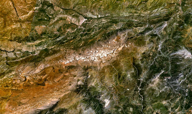
satellite view (from NASA World Wind) of Bolkar range in Turkey.
Licensing[edit]
| This image is in the public domain because it is a screenshot from NASA’s globe software World Wind using a public domain layer, such as Blue Marble, MODIS, Landsat, SRTM, USGS or GLOBE.
|
 |
File history
Click on a date/time to view the file as it appeared at that time.
| Date/Time | Thumbnail | Dimensions | User | Comment | |
|---|---|---|---|---|---|
| current | 11:41, 26 September 2007 | | 1,438 × 852 (2.68 MB) | Bicounet~commonswiki (talk | contribs) | satellite view (from NASA World Wind) of Bolkar range in Turkey. |
You cannot overwrite this file.
File usage on Commons
The following page uses this file:
File usage on other wikis
The following other wikis use this file:
- Usage on az.wikipedia.org
- Usage on bg.wikipedia.org
- Usage on en.wikipedia.org
- Usage on es.wikipedia.org
- Usage on fr.wikipedia.org
- Usage on hy.wikipedia.org
- Usage on lld.wikipedia.org
- Usage on nn.wikipedia.org
- Usage on www.wikidata.org