File:Castilla 1210.png

Rozmiar pierwotny (600 × 643 pikseli, rozmiar pliku: 821 KB, typ MIME: image/png)
Podpisy
Podpisy
Opis[edytuj]
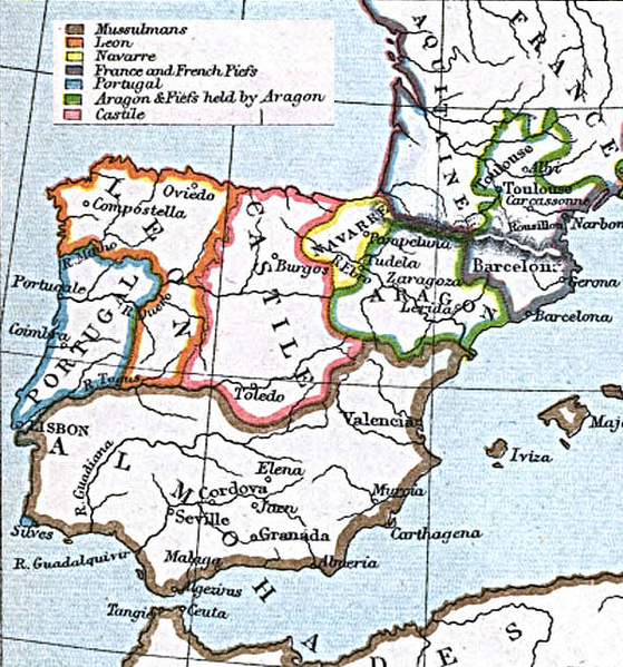
"Courtesy of the University of Texas Libraries, The University of Texas at Austin." http://www.lib.utexas.edu/maps/historical/spanish_kingdoms.html
From the Atlas To Freeman's Historical Geography, Edited by J.B. Bury, Longmans Green and Co. Third Edition 1903
Licencja[edytuj]
|
Autor tej pracy zmarł w 1927 roku, więc ten materiał przeszedł do domeny publicznej w kraju pochodzenia, jak również w państwach i terytoriach, gdzie prawo autorskie wygasa w ciągu 95 lat po śmierci autora. Powyższa praca jest własnością publiczną w Stanach Zjednoczonych, ponieważ została opublikowana (lub zarejestrowana w U.S. Copyright Office) przed 1 stycznia 1929. | |
| Plik rozpoznano jako wolny od znanych ograniczeń praw autorskich, włącznie z prawami zależnymi i pokrewnymi. | |
Historia pliku
Kliknij na odpowiedniej dacie/czasie, aby zobaczyć wersję pliku z tamtego okresu.
| Data/czas | Miniatura | Wymiary | Użytkownik | Opis | |
|---|---|---|---|---|---|
| aktualny | 23:45, 16 mar 2006 | | 600 × 643 (821 KB) | Ajrs (dyskusja | edycje) | "Courtesy of the University of Texas Libraries, The University of Texas at Austin." http://www.lib.utexas.edu/maps/historical/spanish_kingdoms_1210.jpg |
Nie możesz nadpisać tego pliku.
Lokalne wykorzystanie pliku
Następujące strony korzystają z tego pliku:
Globalne wykorzystanie pliku
Ten plik jest wykorzystywany także w innych projektach wiki:
- Wykorzystanie na ar.wikipedia.org
- Wykorzystanie na ast.wikipedia.org
- Wykorzystanie na br.wikipedia.org
- Wykorzystanie na cs.wikipedia.org
- Wykorzystanie na cy.wikipedia.org
- Wykorzystanie na de.wikipedia.org
- Wykorzystanie na en.wikipedia.org
- Wykorzystanie na es.wikipedia.org
- Wykorzystanie na fi.wikipedia.org
- Wykorzystanie na gl.wikipedia.org
- Wykorzystanie na id.wikipedia.org
- Wykorzystanie na io.wikipedia.org
- Wykorzystanie na it.wikipedia.org
- Wykorzystanie na ja.wikipedia.org
- Wykorzystanie na nl.wikipedia.org
- Wykorzystanie na pt.wikipedia.org
- Wykorzystanie na ru.wikipedia.org
- Wykorzystanie na sk.wikipedia.org
- Wykorzystanie na tr.wikipedia.org
- Maps showing history by William R. Shepherd
- Maps showing history of the High Middle Ages
- Maps showing 13th-century history
- Spain in the 1210s
- Maps of the Crown of Aragon
- Maps of the Kingdom of Castile
- Old maps of Medieval Iberia
- Maps of the Kingdom of León
- Old maps of Portugal
- Old maps of Spain
- Afonso II of Portugal
- Alfonso VIII of Castile
- Alfonso IX of León
- Sancho VII of Navarre
- Peter II of Aragon
- Portugal in the 1210s