File:Kazakhstan-eq.png
Jump to navigation
Jump to search
Size of this preview: 800 × 459 pixels. Other resolutions: 320 × 184 pixels | 640 × 367 pixels | 1,024 × 587 pixels | 1,280 × 734 pixels | 3,215 × 1,844 pixels.
Original file (3,215 × 1,844 pixels, file size: 64 KB, MIME type: image/png)
Captions
Captions
Add a one-line explanation of what this file represents
Summary[edit]
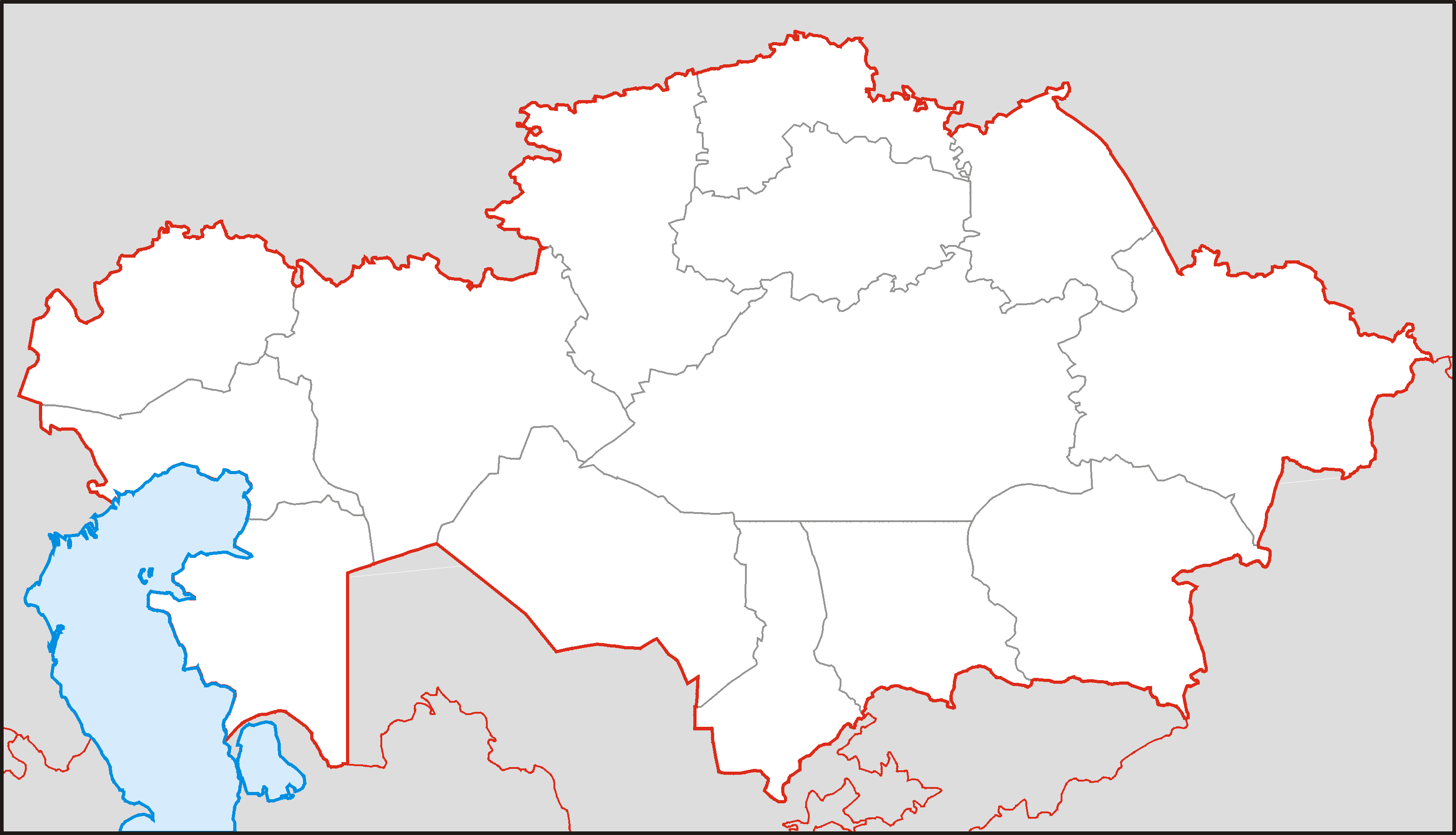
Карта Казахстана в нужной проекции для Шаблон:ПозКарта, вытянутая вертикально в полтора раза и обрезанная ровно по линиям градусов (46° - 88° в.д., 40° - 56° с.ш.).
Map of Kazakhstan, originally in the equirectangular projection (equidistant cylindrical projection, or plate carrée), but stretched vetically 1,5 times (for better appearance). Cropped by 1 degree lines (46° - 88° W, 40° - 56° N).
| Description | for Template:Location map |
| Date | |
| Source | Own work |
| Author | Koryakov Yuri |
Licensing[edit]
| I, the copyright holder of this work, release this work into the public domain. This applies worldwide. In some countries this may not be legally possible; if so: I grant anyone the right to use this work for any purpose, without any conditions, unless such conditions are required by law. |
File history
Click on a date/time to view the file as it appeared at that time.
| Date/Time | Thumbnail | Dimensions | User | Comment | |
|---|---|---|---|---|---|
| current | 12:20, 9 September 2007 | | 3,215 × 1,844 (64 KB) | Koryakov Yuri (talk | contribs) | == Summary == Карта Казахстана в нужной проекции для Шаблон:ПозКарта, вытянутая вертикально в полтора раза и обрезанная ров� |
You cannot overwrite this file.
File usage on Commons
The following 2 pages use this file:
File usage on other wikis
The following other wikis use this file:
- Usage on cs.wikipedia.org