File:Location of Mount St. Helens.png
(Redirected from File:Location of Mt St Helens.png)
Size of this preview: 749 × 599 pixels. Other resolutions: 300 × 240 pixels | 600 × 480 pixels | 1,001 × 801 pixels.
Original file (1,001 × 801 pixels, file size: 1.8 MB, MIME type: image/png)
Captions
Captions
Add a one-line explanation of what this file represents
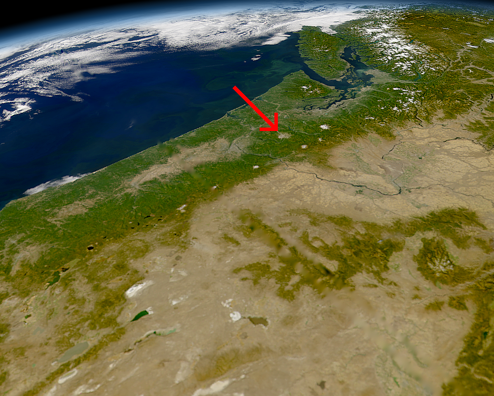
Location of Mount St. Helens, Washington.
NASA Photo, courtesy "NASA Earth From Space" Website; Modified with text by USGS/CVO.[1]
| This image is from the Sea-viewing Wide Field-of-view Sensor (SeaWiFS) Project and more than 5 years old.
Satellite data captured by the SeaWIFS sensor are released into the public domain 5 years after capture. Data less than five years old can be re-used only for educational or scientific purposes; any commercial use of such images must be coordinated with GeoEye. [2] |
| This work has been released into the public domain by its copyright holder, GeoEye. This applies worldwide. In some countries this may not be legally possible; if so: GeoEye grants anyone the right to use this work for any purpose, without any conditions, unless such conditions are required by law.
|
- Sensor
- OrbView-2/SeaWiFS
- Datastart
- 2000-09-26
- Visible Earth v1 ID
- 4786
- Visualization Date
- 2000-09-26
http://visibleearth.nasa.gov/view_rec.php?vev1id=4786[dead link]
relation[edit]
File history
Click on a date/time to view the file as it appeared at that time.
| Date/Time | Thumbnail | Dimensions | User | Comment | |
|---|---|---|---|---|---|
| current | 07:27, 9 August 2005 | | 1,001 × 801 (1.8 MB) | Complex01 (talk | contribs) | Location of Mount St. Helens, Washington, September 1994. NASA Photo, courtesy "NASA Earth From Space" Website; Modified with text by USGS/CVO.[http://vulcan.wr.usgs.gov/Volcanoes/MSH/Images/annotated_nasa_images.html] {{PD-USGov-Interior-USGS}} {{PD- |
You cannot overwrite this file.
File usage on Commons
The following page uses this file:
- File:Location of Mt St Helens.png (file redirect)
File usage on other wikis
The following other wikis use this file:
- Usage on ja.wikipedia.org