File:Map India and Pakistan 1-250,000 Tile NF 45-11, Contai.jpg
(Redirected from File:Maps ams contai india nf-45-11-4.jpg)

Size of this preview: 795 × 599 pixels. Other resolutions: 318 × 240 pixels | 637 × 480 pixels | 1,019 × 768 pixels | 1,280 × 965 pixels | 2,560 × 1,930 pixels | 5,000 × 3,770 pixels.
Original file (5,000 × 3,770 pixels, file size: 1.32 MB, MIME type: image/jpeg)
Captions
Captions
Add a one-line explanation of what this file represents
Summary
[edit]
| Description |
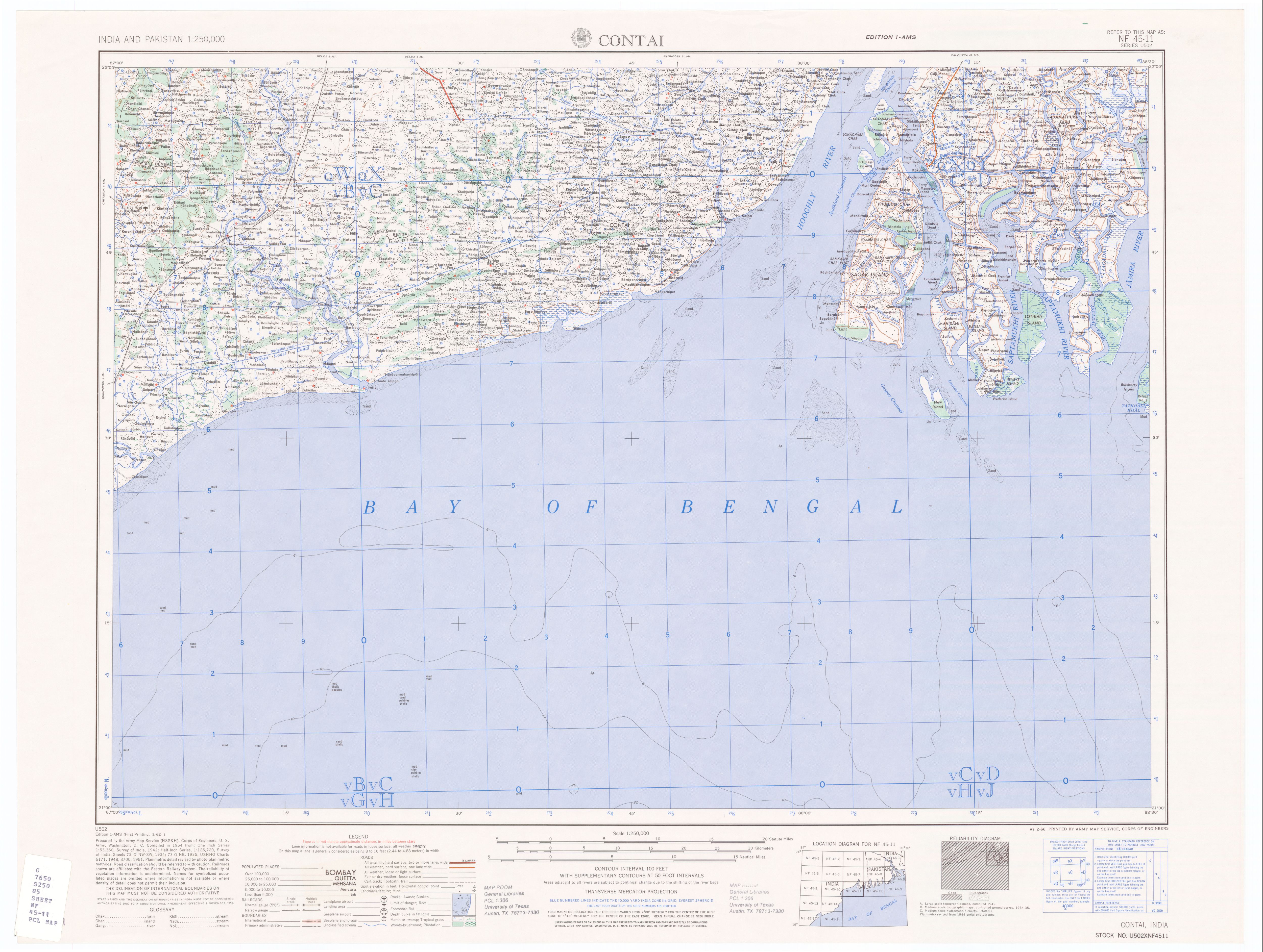
50% quality copy of Contai, India map by U.S. Army Map Service. Compiled in 1954. |
|||||||||
| Source | http://www.lib.utexas.edu/maps/ams/india/nf-45-11.jpg linked from http://www.lib.utexas.edu/maps/ams/india/ | |||||||||
| Creator |
U.S. Army Map Service, Corps of Engineers |
|||||||||
| Permission (Reusing this file) |
PD U.S. Government work. "Courtesy of the University of Texas Libraries, The University of Texas at Austin." | |||||||||
| Geotemporal data | ||||||||||
| Bounding box |
|
|||||||||
| Georeferencing | ||||||||||
| Other versions |
Derivative works of this file: |
|||||||||
Licensing
[edit]
This work is in the public domain in the United States because it is a work prepared by an officer or employee of the United States Government as part of that person’s official duties under the terms of Title 17, Chapter 1, Section 105 of the US Code.
Note: This only applies to original works of the Federal Government and not to the work of any individual U.S. state, territory, commonwealth, county, municipality, or any other subdivision. This template also does not apply to postage stamp designs published by the United States Postal Service since 1978. (See § 313.6(C)(1) of Compendium of U.S. Copyright Office Practices). It also does not apply to certain US coins; see The US Mint Terms of Use.
|
 | |
| This file has been identified as being free of known restrictions under copyright law, including all related and neighboring rights. | ||
File history
Click on a date/time to view the file as it appeared at that time.
| Date/Time | Thumbnail | Dimensions | User | Comment | |
|---|---|---|---|---|---|
| current | 07:44, 10 January 2007 | | 5,000 × 3,770 (1.32 MB) | SEWilco (talk | contribs) | {{Information |Description=50% quality copy of Contai, India map by U.S. Army Map Service. Compiled in 1954. |Source=http://www.lib.utexas.edu/maps/ams/india/nf-45-11.jpg linked from http://www.lib.utexas.edu/maps/ams/india/ |Date= |Author=U.S. Army Map |
You cannot overwrite this file.
File usage on Commons
The following 3 pages use this file: