Turgot map of Paris

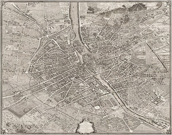
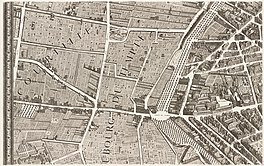
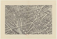
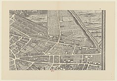
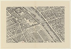
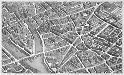
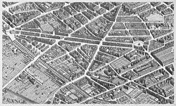
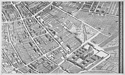
The Turgot map of Paris (French: plan de Turgot) is a highly accurate and detailed map of the city of Paris as it appeared in 1734–1736. The map was published in 1739 as an atlas of 20 non-overlapping sectional bird's-eye view maps (at a scale of approximately 1/400) in isometric perspective toward the southeast. Additionally, there is one simplified general map with a 4 x 5 grid showing the layout of the 20 sectional maps. The atlas covers an area approximately corresponding to the first eleven of the modern-day arrondissements. Each sectional map is 50 cm high (only 48 cm in the first row) by 80 cm wide and consists of double facing sheets. If the sectional maps are assembled, the composite is 250.5 cm high x 322.5 cm wide.[1] It has been described as "the first all-comprising graphical inventory of the [French] capital, down to the last orchard and tree, detailing every house and naming even the most modest cul-de-sac."[2]
General map
[edit]-
Map from the Norman B. Leventhal Map Center
(35,690 × 28,030 pixels) -
Map from the Kyoto University Library
(19,080 × 14,490 pixels) -
Map from the Barry Lawrence Ruderman Antique Maps Inc.
(39,973 × 32,000 pixels) -
Map in Histoire Générale de Paris. Atlas des Anciens plans de Paris., from the David Rumsey Historical Map Collection
(39,604 × 29,433 pixels) -
Map in Atlas des anciens plans de Paris, from the Bibliothèque historique de la ville de Paris
(7,935 × 6,118 pixels) -
Map from the Geographicus Rare Antique Maps
(10,000 × 8,046 pixels) -
Map from the Geographicus Rare Antique Maps
(6,867 × 5,412 pixels) -
Map from the Norman B. Leventhal Map Center
(9,080 × 6,920 pixels) -
Map from the Kyoto University Library
(4,016 × 2,995 pixels) -
Map from the Barry Lawrence Ruderman Antique Maps Inc.
(19,347 × 14,596 pixels) -
Map from the David Rumsey Historical Map Collection
(23,000 × 16,000 pixels) -
Map from the Bibliothèque nationale de France
(6,379 × 4,695 pixels)
Derivative files
[edit]David Rumsey Historical Map Collection
[edit]- General map
The simplified general map gives an overview of the sectional maps and indicates their locations in a 4 x 5 grid.
- Sectional maps
The complete map of Paris is divided into a 4 x 5 array of sectional maps, plates 1–20 of the atlas.
 |
 |
 |
 |
 |
 |
 |
 |
 |
 |
 |
 |
 |
 |
 |
 |
 |
 |
 |
 |
Norman B. Leventhal Map Center
[edit]- General map
The simplified general map gives an overview of the sectional maps and indicates their locations in a 4 x 5 grid.
- General overview of the Turgot map of Paris

- The Turgot map of Paris in its assembled form
- Sectional maps
The complete map of Paris is divided into a 4 x 5 array of sectional maps, plates 1–20 of the atlas.
 |
 |
 |
 |
 |
 |
 |
 |
 |
 |
 |
 |
 |
 |
 |
 |
 |
 |
 | |
Bibliothèque nationale de France
[edit]- General map
The simplified general map gives an overview of the sectional maps and indicates their locations in a 4 x 5 grid.
- Sectional maps
The complete map of Paris is divided into a 4 x 5 array of sectional maps, plates 1–20 of the atlas.
 |
 |
 |
 |
 |
 |
 |
 |
 |
 |
 |
 |
 |
 |
 |
 |
 |
 |
 |
 |
Kyoto University Library
[edit]- General map
The simplified general map gives an overview of the sectional maps and indicates their locations in a 4 x 5 grid.
- General overview of the Turgot map of Paris

- The Turgot map of Paris in its assembled form

- Sectional maps
The complete map of Paris is divided into a 4 x 5 array of sectional maps, plates 1–20 of the atlas.

|

|

|

|

|

|

|

|

|

|
|

|

|
|

|
|

|

|

|

|
References
[edit]- Notes
- Sources
- Boutier, Jean (2007). Les Plans de Paris, second edition. Paris: Bibliothèque nationale de France. ISBN 978-2717723892.
- Blom, Philipp (2005). Enlightening the World: Encyclopédie, the Book That Changed the Course of History. New York: Palgrave Macmillan. ISBN 978-1403968951.


