Category:Maps showing the fictive Buenaventura River
Zur Navigation springen
Zur Suche springen
fiktiver Fluss im Westen Nordamerikas | |||||
| Medium hochladen | |||||
| Ist ein(e) | |||||
|---|---|---|---|---|---|
| Ort |
| ||||
| |||||
Medien in der Kategorie „Maps showing the fictive Buenaventura River“
Folgende 9 Dateien sind in dieser Kategorie, von 9 insgesamt.
-
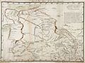
 1810 Tardieu Map of Mexico, Texas and California - Geographicus - Mexique-tardieu-1810.jpg 3.000 × 2.235; 1,84 MB
-
 Finley's Map 1826 BHoU-p28.png 4.308 × 2.800; 373 KB
-
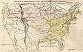
 Map of the United States 1823.jpg 5.080 × 3.251; 3,44 MB
-
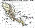 Mexiko und Mittelamerika 1829.JPG 3.064 × 2.448; 1,53 MB
-
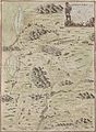 Miera Escalante map 1777.jpg 4.218 × 5.758; 19,91 MB
-
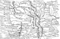
 Miera map 1778.jpg 1.303 × 961; 838 KB
-
 Tanner map part J1.jpg 1.489 × 1.765; 1,34 MB
-
 United States in 1794 Samuel Dunn Map of the World in Hemispheres.JPG 1.007 × 630; 190 KB
-
 USA 1829.JPG 5.015 × 3.155; 3,21 MB


