File:臺南市七股區行政區圖.svg
跳去導覽
跳去搵嘢

呢個「SVG」檔案嘅呢個「PNG」預覽嘅大細:567 × 600 像素。 第啲解像度:227 × 240 像素 | 454 × 480 像素 | 726 × 768 像素 | 968 × 1,024 像素 | 1,936 × 2,048 像素 | 2,213 × 2,341 像素。
原本檔案 (SVG檔案,表面大細: 2,213 × 2,341 像素,檔案大細:88 KB)
Captions
Captions
Add a one-line explanation of what this file represents
摘要[編輯]
| 描述 |
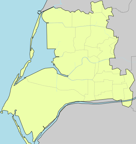
中文(繁體):臺南市七股區行政區圖(參考來源:內政部 |
| 日期 | |
| 來源 | 自己作品 |
| 作者 |
This W3C-unspecified vector image was created with Inkscape . |
協議[編輯]
| I, the copyright holder of this work, release this work into the public domain. This applies worldwide. In some countries this may not be legally possible; if so: I grant anyone the right to use this work for any purpose, without any conditions, unless such conditions are required by law. |
檔案歷史
撳個日期/時間去睇響嗰個時間出現過嘅檔案。
| 日期/時間 | 縮圖 | 尺寸 | 用戶 | 註解 | |
|---|---|---|---|---|---|
| 現時 | 2019年7月9號 (二) 12:27 | | 2,213 × 2,341(88 KB) | Pbdragonwang(傾偈 | 貢獻) | 調整竹港里界線 |
| 2011年3月13號 (日) 18:29 |  | 2,075 × 2,194(87 KB) | Pbdragonwang(傾偈 | 貢獻) | 邊界修改 | |
| 2011年2月28號 (一) 14:57 |  | 2,077 × 2,195(71 KB) | Pbdragonwang(傾偈 | 貢獻) | {{Information |Description ={{zh-hant|1=臺南市七股區行政區圖(參考來源:[http://taiwanarmap.moi.gov.tw/moi/ProjectImage/%E4%B8%83%E8%82%A1%E5%8D%80-%E4%B8%AD.png 內政部]}} |Source ={{own}} |Author =[[User:Pbdragonwang |
你無得衾咗個檔案。
檔案用途
以下嘅1版用到呢個檔: