File:명동8길 거리 (2020.03).jpg
Pumunta sa nabigasyon
Pumunta sa paghahanap
Laki ng pasilip na ito: 800 x 534 na pixel. Ibang resolusyon: 320 x 213 na pixel | 640 x 427 na pixel | 1,024 x 683 na pixel | 1,280 x 854 na pixel | 1,600 x 1,067 na pixel.
Orihinal na file (1,600 × 1,067 na pixel, laki: 875 KB, uri ng MIME: image/jpeg)
Captions
Captions
Add a one-line explanation of what this file represents
Buod[baguhin]
.jpg&action=edit§ion=1)
| Paglalarawan |
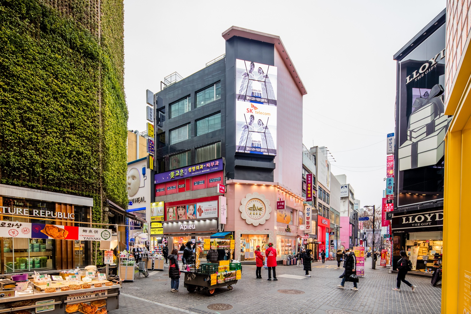
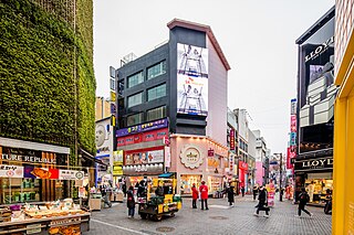
한국어: 명동8길 거리 (2020년 3월) |
| Petsa | |
| Pinanggalingan | 사진으로 본 서울 |
| May-akda | 서울연구데이터서비스 |
| Camera location | | View this and other nearby images on: OpenStreetMap |
|---|
.jpg¶ms=037.561567_N_0126.985028_E_globe:Earth_type:camera_heading:338.00&language=tl)
Paglilisensiya[baguhin]
.jpg&action=edit§ion=2)

|
This file is licensed under the Korea Open Government License Type I: Attribution.
|
|
Nakaraan ng file
Pindutin ang isang petsa/oras para makita ang file noong puntong yon.
| Petsa/Oras | Thumbnail | Sukat | Tagagamit | Komento | |
|---|---|---|---|---|---|
| ngayon | 05:44, 25 Mayo 2023 | | 1,600 × 1,067 (875 KB) | 밥풀떼기 (usapan | ambag) | Uploaded a work by 서울연구데이터서비스 from [https://data.si.re.kr/node/64069 사진으로 본 서울] with UploadWizard |
Hindi mo mao-overwrite ang file na ito.
Paggamit sa file
Walang pahinang gumagamit sa file na ito.
Pandaigdigang paggamit sa file
Ginagamit ng mga sumusunod na wiki ang file na ito:
- Paggamit sa en.wikipedia.org
- Paggamit sa ko.wikipedia.org
- Paggamit sa tl.wikipedia.org
- Paggamit sa vi.wikipedia.org
- Paggamit sa zh.wikipedia.org
.jpg&oldid=766845535)