File:1812 Karte Untersendling Theresienwiese.jpg
Fitxer original (1.312 × 1.020 píxels, mida del fitxer: 1,19 Mo, tipus MIME: image/jpeg)
Llegendes
Llegendes
Resum
[modifica]
| Descripció |
|
| Data | |
| Font | Image edited and uploaded to Commons by Dominik Hundhammer, München, 28 February 2006 |
| Georeferencing | If inappropriate please set warp_status = skip to hide. |
Llicència
[modifica]
|
Aquest material està en domini públic als Estats Units i als altres països on el dret d'autor s'estén per 70 anys (o menys) després de la mort de l'autor.
| |
| Aquest fitxer està identificat com a lliure de restriccions conegudes sota la llei de drets d'autor, inclosos els drets veïns. | |
Historial del fitxer
Cliqueu una data/hora per veure el fitxer tal com era aleshores.
| Data/hora | Miniatura | Dimensions | Usuari/a | Comentari | |
|---|---|---|---|---|---|
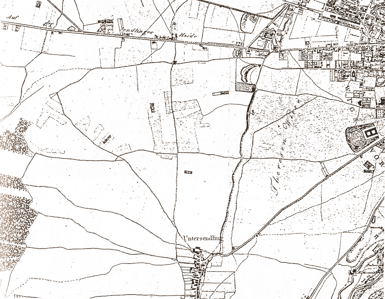
| actual | 02:53, 27 feb 2006 | | 1.312 × 1.020 (1,19 Mo) | Zerohund~commonswiki (discussió | contribucions) | Sendling and de:Theresienwiese, map of 1812 Image edited and uploadedto Commons by Dominik Hundhammer, München, 28 February 2006 Category:München. Germany |
| 02:48, 27 feb 2006 |  | 1.312 × 1.020 (1,19 Mo) | Zerohund~commonswiki (discussió | contribucions) | Sendling and de:Theresienwiese, map of 1812 Image edited and uploadedto Commons by Dominik Hundhammer, München, 28 February 2006 Category:München. Germany |
No podeu sobreescriure aquest fitxer.
Ús del fitxer
Les 2 pàgines següents utilitzen aquest fitxer:
Ús global del fitxer
Utilització d'aquest fitxer en altres wikis:
- Utilització a ar.wikipedia.org
- Utilització a ca.wikipedia.org
- Utilització a de.wikipedia.org
- Utilització a en.wikipedia.org
- Utilització a es.wikipedia.org
- Utilització a it.wikipedia.org
- Utilització a pt.wikipedia.org
- Utilització a ru.wikipedia.org
- Utilització a vi.wikipedia.org
- Utilització a www.wikidata.org