File:2009-08-27 Lake Geneva 439.JPG
跳至導覽
跳至搜尋

預覽大小:800 × 600 像素。 其他解析度:320 × 240 像素 | 640 × 480 像素 | 1,024 × 768 像素 | 1,280 × 960 像素 | 2,560 × 1,920 像素 | 3,648 × 2,736 像素。
原始檔案 (3,648 × 2,736 像素,檔案大小:4.62 MB,MIME 類型:image/jpeg)
說明
說明
添加單行說明來描述出檔案所代表的內容
摘要
[編輯]
| 描述 |
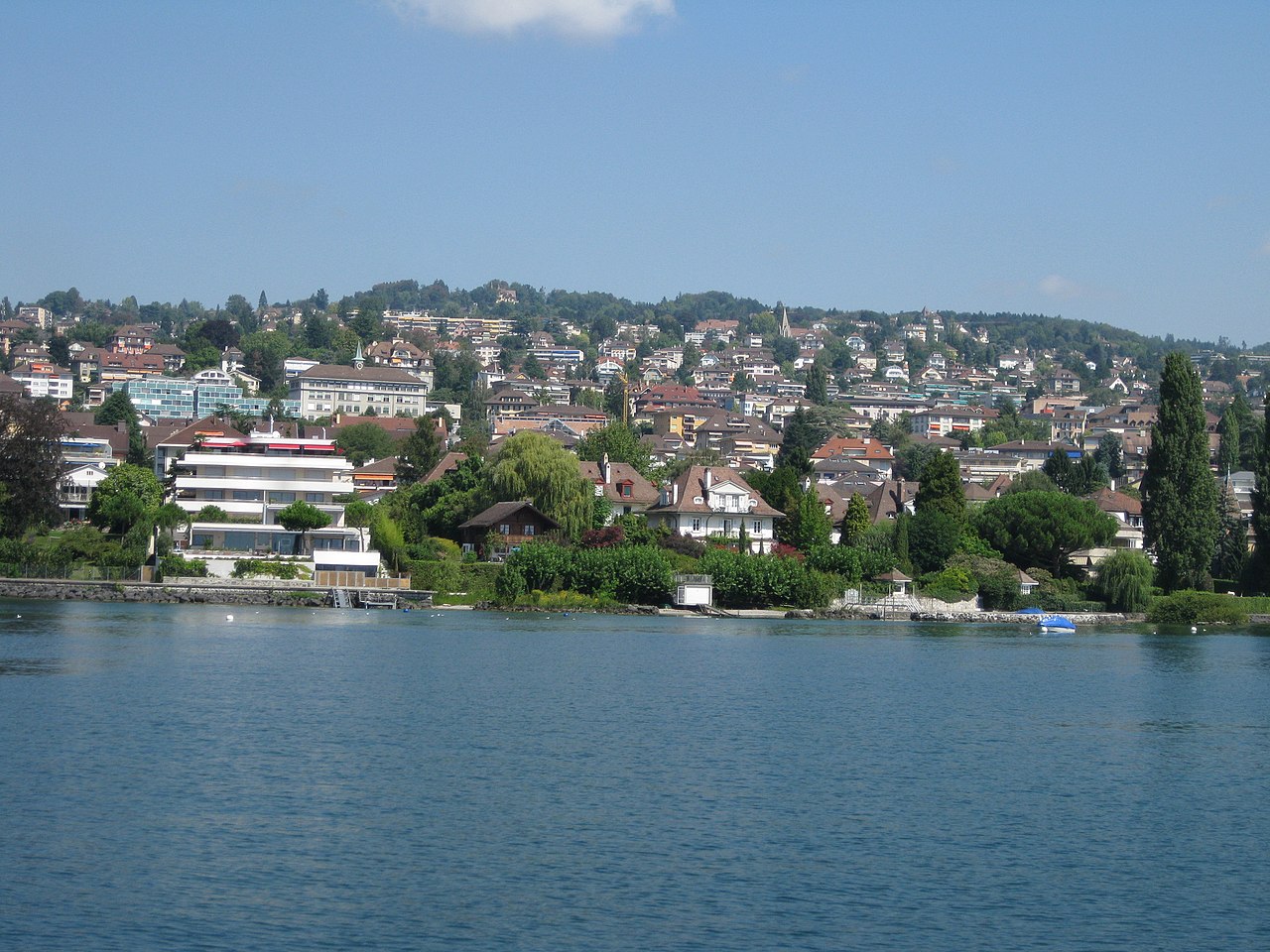
Deutsch: Rund um den Genfersee, Schweiz / Frankreich
English: Around the lake of Geneva, Switzerland / France. Location see geotag. |
| 日期 | |
| 來源 | 自己的作品 |
| 作者 | Norbert Aepli, Switzerland (User:Noebu) |
| 授權許可 (重用此檔案) |
Own work, attribution required (Multi-license with GFDL and Creative Commons CC-BY 3.0) |
| 拍攝地點 | | 位於此地的本圖片與其他圖片: OpenStreetMap |
|---|
授權條款
[編輯]
Norbert Aepli, Switzerland,此作品的版權所有人,決定用以下授權條款發佈本作品:

|
已授權您依據自由軟體基金會發行的無固定段落、封面文字和封底文字GNU自由文件授權條款1.2版或任意後續版本,對本檔進行複製、傳播和/或修改。該協議的副本列在GNU自由文件授權條款中。 |
此檔案採用創用CC 姓名標示 3.0 未在地化版本授權條款。
- 您可以自由:
- 分享 – 複製、發佈和傳播本作品
- 重新修改 – 創作演繹作品
- 惟需遵照下列條件:
- 姓名標示 – 您必須指名出正確的製作者,和提供授權條款的連結,以及表示是否有對內容上做出變更。您可以用任何合理的方式來行動,但不得以任何方式表明授權條款是對您許可或是由您所使用。
您可以選擇您需要的授權條款。
English: Usage of this photo is only permitted according to the license terms listed above. If you have special licensing needs, please contact me using this e-mail form.
Deutsch: Die Verwendung dieses Fotos ist nur gemäss den Bedingungen der oben genannten Lizenz erlaubt. Falls Sie eine andere Lizenz wünschen, kontaktieren Sie mich bitte mit diesem E-Mail Formular.
檔案歷史
點選日期/時間以檢視該時間的檔案版本。
| 日期/時間 | 縮圖 | 尺寸 | 用戶 | 備註 | |
|---|---|---|---|---|---|
| 目前 | 2010年4月2日 (五) 21:40 | | 3,648 × 2,736(4.62 MB) | Noebu(對話 | 貢獻) | {{Information |Description={{de|Rund um den Genfersee, Schweiz / Frankreich}} {{en|Around the lake of Geneva, Switzerland / France. Location see geotag.}} |Source={{Own}} |Date=2009-08-27 |Author=Norbert Aepli, Switzerland (User:Noebu) |Permission=Ow |
無法覆蓋此檔案。
檔案用途
下列頁面有用到此檔案:
全域檔案使用狀況
以下其他 wiki 使用了這個檔案:
- fr.wikipedia.org 的使用狀況
- zh.wikipedia.org 的使用狀況