File:2010 Bonin Islands Earthquake - Intensity Map.png
跳转到导航
跳转到搜索
本预览的尺寸:800 × 565像素。 其他分辨率:320 × 226像素 | 640 × 452像素 | 976 × 689像素。
原始文件 (976 × 689像素,文件大小:400 KB,MIME类型:image/png)
说明
说明
添加一行文字以描述该文件所表现的内容
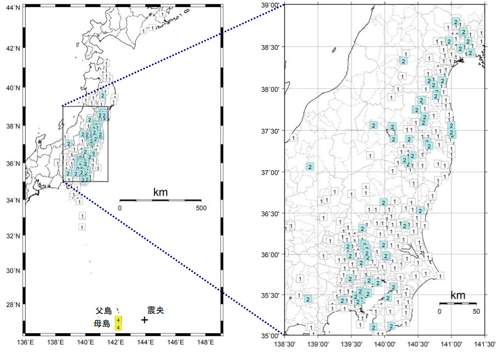
2010年父岛地震烈度分布图
摘要
[编辑]| 描述 |
中文:2010年父岛地震烈度分布图
English: 2010 Bonin Islands Earthquake - Intensity Map
日本語: 2010年父島近海地震震度分布図 |
| 日期 | |
| 来源 | https://www.data.jma.go.jp/svd/eqev/data/gaikyo/monthly/201012/monthly201012.pdf |
| 作者 | Japan Meteorological Agency |
许可协议
[编辑]This image was produced by the 气象厅. The legal notice (archive) stated that all the images published on their website is compatible with the Creative Commons Attribution 4.0 License, which means that all the images on this website is published under the Creative Commons Attribution 4.0 License unless otherwise specified.
|
 |

文件历史
点击某个日期/时间查看对应时刻的文件。
| 日期/时间 | 缩略图 | 大小 | 用户 | 备注 | |
|---|---|---|---|---|---|
| 当前 | 2021年9月23日 (四) 14:47 | | 976 × 689(400 KB) | Theodore Xu(留言 | 贡献) | Uploaded a work by Japan Meteorological Agency from https://www.data.jma.go.jp/svd/eqev/data/gaikyo/monthly/201012/monthly201012.pdf with UploadWizard |
您不可以覆盖此文件。
文件用途
没有页面使用本文件。
全域文件用途
以下其他wiki使用此文件:
- zh.wikipedia.org上的用途