File:2016-02-06-1818-UTC 48hrsfc.gif
Zur Navigation springen
Zur Suche springen
Es ist keine höhere Auflösung vorhanden.
2016-02-06-1818-UTC_48hrsfc.gif (800 × 509 Pixel, Dateigröße: 208 KB, MIME-Typ: image/gif)
Bildtexte
Kurzbeschreibungen
Ergänze eine einzeilige Erklärung, was diese Datei darstellt.
Beschreibung[Bearbeiten]
| Beschreibung |
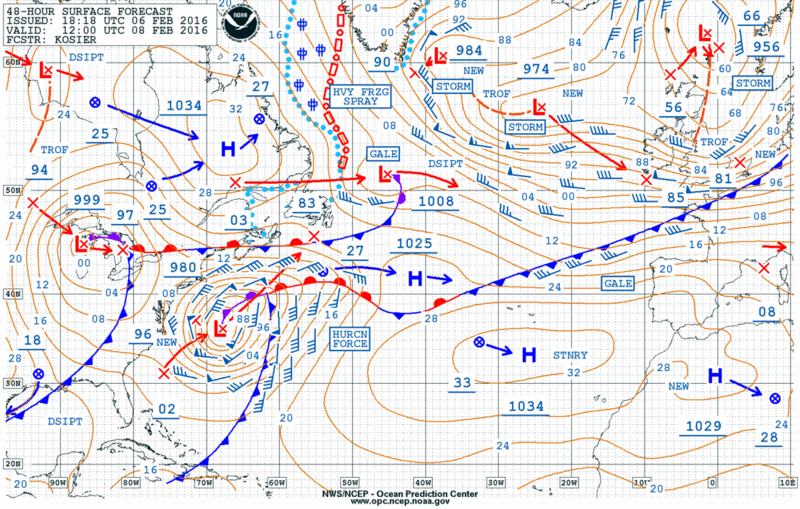
English: 48h Atlantic surface map valid for 2016-02-08 1200 UTC
Deutsch: 48-Stunden-Bodenkarte Atlantik gültig für 2016-02-08 1200 UTC |
| Datum | |
| Quelle | http://www.opc.ncep.noaa.gov/shtml/A_48hrsfc.gif |
| Urheber | NOAA |
Lizenz[Bearbeiten]
Diese Datei ist gemeinfrei (public domain), weil sie Material enthält, das von einem Angestellten der National Oceanic and Atmospheric Administration im Verlaufe seiner offiziellen Arbeit erstellt wurde.
|
Dateiversionen
Klicke auf einen Zeitpunkt, um diese Version zu laden.
| Version vom | Vorschaubild | Maße | Benutzer | Kommentar | |
|---|---|---|---|---|---|
| aktuell | 23:10, 7. Feb. 2016 | | 800 × 509 (208 KB) | Matthiasb (Diskussion | Beiträge) | {{Information |Description ={{en|1=48h Atlantic surface map valid for 2016-02-08 1200 UTC}} {{de|1=48-Stunden-Bodenkarte Atlantik gültig für 2016-02-08 1200 UTC}} |Source =http://www.opc.ncep.noaa.gov/shtml/A_48hrsfc.gif |Author =N... |
Du kannst diese Datei nicht überschreiben.
Dateiverwendung
Die folgende Seite verwendet diese Datei:
Globale Dateiverwendung
Die nachfolgenden anderen Wikis verwenden diese Datei:
- Verwendung auf de.wikipedia.org