File:925 CE, Europe.svg
Aller à la navigation
Aller à la recherche

Taille de cet aperçu PNG pour ce fichier SVG : 512 × 438 pixels. Autres résolutions : 281 × 240 pixels | 561 × 480 pixels | 898 × 768 pixels | 1 197 × 1 024 pixels | 2 394 × 2 048 pixels.
Fichier d’origine (Fichier SVG, nominalement de 512 × 438 pixels, taille : 1,7 Mio)
Légendes
Légendes
Ajoutez en une ligne la description de ce que représente ce fichier
Description
[modifier]
| Description |
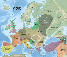
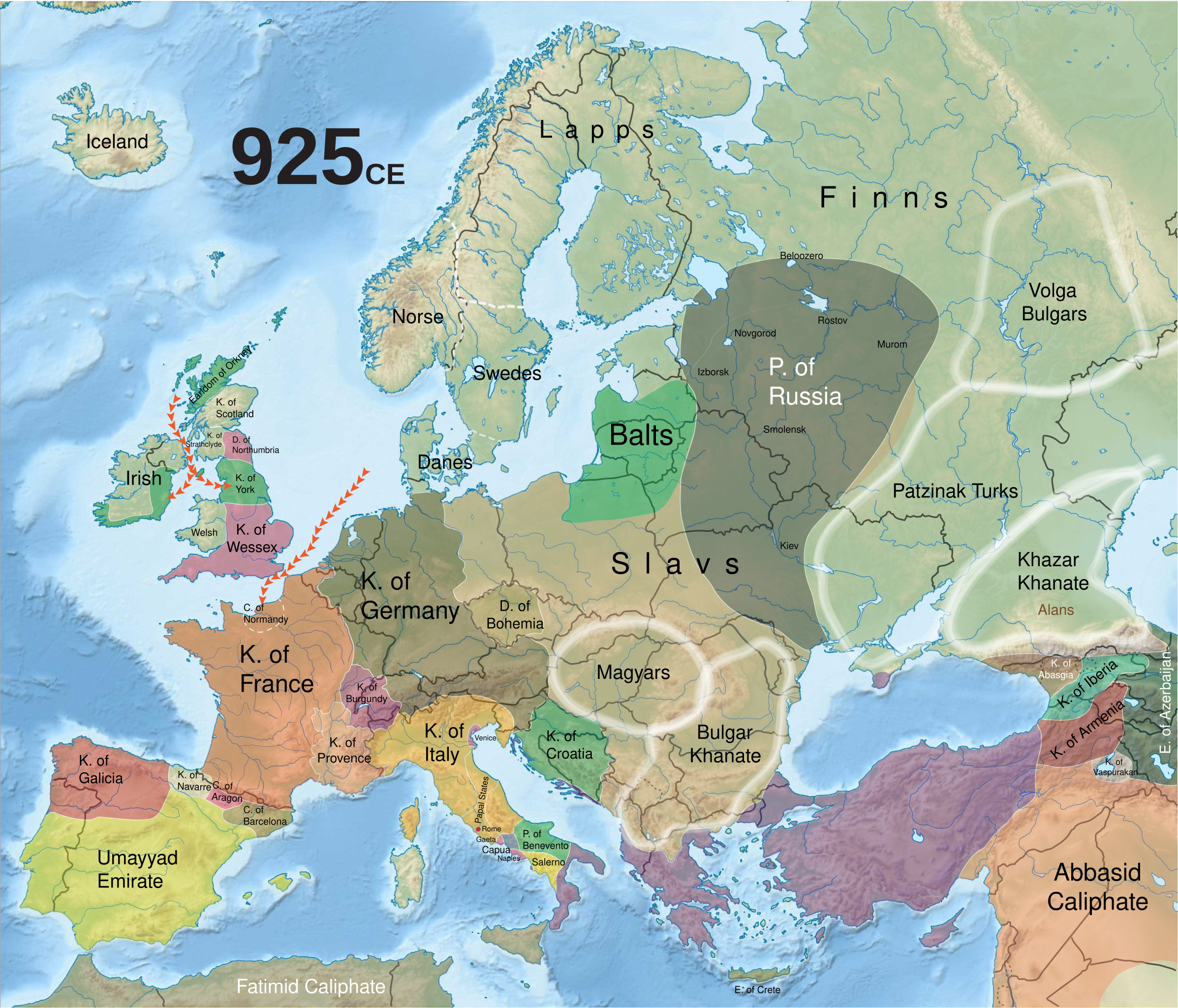
English: Historical map of Europe in 925 CE. |
||
| Date | |||
| Source | Historical maps: Europe | ||
| Auteur |
Richard Ishida - r12a@w3.org
|
Conditions d’utilisation
[modifier]
Ce fichier est sous la licence Creative Commons Attribution – Partage dans les Mêmes Conditions 4.0 International.
- Vous êtes libre :
- de partager – de copier, distribuer et transmettre cette œuvre
- d’adapter – de modifier cette œuvre
- Sous les conditions suivantes :
- paternité – Vous devez donner les informations appropriées concernant l'auteur, fournir un lien vers la licence et indiquer si des modifications ont été faites. Vous pouvez faire cela par tout moyen raisonnable, mais en aucune façon suggérant que l’auteur vous soutient ou approuve l’utilisation que vous en faites.
- partage à l’identique – Si vous modifiez, transformez, ou vous basez sur cette œuvre, vous devez distribuer votre contribution sous la même licence ou une licence compatible avec celle de l’original.
Historique du fichier
Cliquer sur une date et heure pour voir le fichier tel qu'il était à ce moment-là.
| Date et heure | Vignette | Dimensions | Utilisateur | Commentaire | |
|---|---|---|---|---|---|
| actuel | 6 octobre 2019 à 19:02 | | 512 × 438 (1,7 Mio) | One2 (d | contributions) | User created page with UploadWizard |
Vous ne pouvez pas remplacer ce fichier.
Utilisations locales du fichier
La page suivante utilise ce fichier :
Utilisations du fichier sur d’autres wikis
Les autres wikis suivants utilisent ce fichier :
- Utilisation sur de.wikibooks.org
- Utilisation sur fr.wikipedia.org
- Utilisation sur ru.wikipedia.org
Métadonnées
Catégories :
- Maps of 10th-century Europe
- Maps of the Kingdom of Galicia (Iberian Peninsula)
- Maps of Al-Andalus
- Maps of the Frankish territory
- Maps of the Byzantine empire in the 10th century
- Maps of medieval Europe
- Maps of the County of Aragon
- Maps of the County of Barcelona
- Maps of the Slavs
- Maps of the history of Bulgars in the 10th century