File:Alagoas Municipalities.png
跳转到导航
跳转到搜索
本预览的尺寸:800 × 447像素。 其他分辨率:320 × 179像素 | 640 × 358像素 | 1,252 × 700像素。
原始文件 (1,252 × 700像素,文件大小:30 KB,MIME类型:image/png)
说明
说明
添加一行文字以描述该文件所表现的内容

|
此图片可使用矢量图形重新创建为SVG文件。这具有很多好处;更多信息请参见共享资源:待清理媒体。如果存在此图片的SVG格式,请将其上传,然后将此模板替换为
{{vector version available|新图片名称}}。
建议您将SVG命名为“Alagoas Municipalities.svg”,这样在使用Vector version available(或Vva)模板时就不需要填写新图片名称参数。 |
摘要[编辑]
| 描述 |
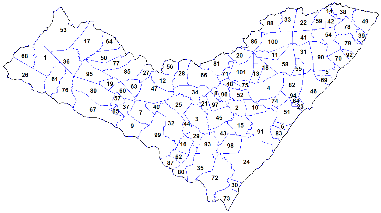
English: Map of the municipalities of the state of Alagoas, Brazil. Created by Rarelibra 18:55, 24 August 2006 (UTC) for public domain use. Created using MapInfo Professional v8.5 and various mapping resources. |
| 日期 | 2006年8月24日 (原始上传日期) |
| 来源 |
自己的作品 Transferred from en.wikipedia |
| 作者 | Rarelibra at en.wikipedia |
许可协议[编辑]
| |
本作品已被作者中文维基百科项目的Rarelibra释出到公有领域。这适用于全世界。 如果这样做不合法的话: |
原始上传日志[编辑]
原始描述頁面位於這裡。下列使用者名稱均來自en.wikipedia。
- 2006-08-24 18:55 Rarelibra 1281×880 (52921 bytes) Map of the municipalities of the state of Alagoas, Brazil. Created by ~~~~ for public domain use. Created using MapInfo Professional v8.5 and various mapping resources.
文件历史
点击某个日期/时间查看对应时刻的文件。
| 日期/时间 | 缩略图 | 大小 | 用户 | 备注 | |
|---|---|---|---|---|---|
| 当前 | 2023年11月2日 (四) 21:48 | | 1,252 × 700(30 KB) | Beao(留言 | 贡献) | Cropped 2 % horizontally, 20 % vertically using CropTool with lossless mode. Removed border. |
| 2012年1月29日 (日) 14:29 |  | 1,281 × 880(52 KB) | BotMultichillT(留言 | 贡献) | {{BotMoveToCommons|en.wikipedia|year={{subst:CURRENTYEAR}}|month={{subst:CURRENTMONTHNAME}}|day={{subst:CURRENTDAY}}}} == {{int:filedesc}} == {{Information |description={{en|1=Map of the municipalities of the state of Alagoas, Brazil. Created by [[:en:Us |
您不可以覆盖此文件。
文件用途
没有页面使用本文件。
全域文件用途
以下其他wiki使用此文件:
- ban.wikipedia.org上的用途
- en.wikipedia.org上的用途
- es.wikipedia.org上的用途
- id.wikipedia.org上的用途
- ro.wikipedia.org上的用途
- sco.wikipedia.org上的用途
- zh.wikipedia.org上的用途