File:Alexander-Island.jpg
跳去導覽
跳去搵嘢

預覽大細:799 × 599 像素。 第啲解像度:320 × 240 像素 | 640 × 480 像素 | 1,024 × 768 像素 | 1,280 × 960 像素 | 2,560 × 1,920 像素 | 2,869 × 2,152 像素。
原本檔案 (2,869 × 2,152 像素,檔案大細:4.02 MB ,MIME類型:image/jpeg)
Captions
Captions
Add a one-line explanation of what this file represents
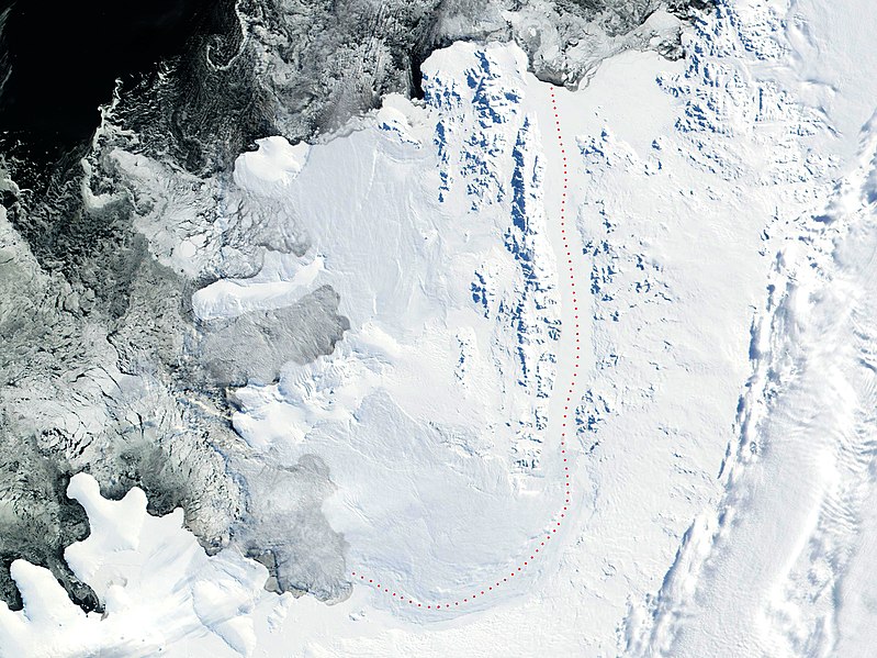
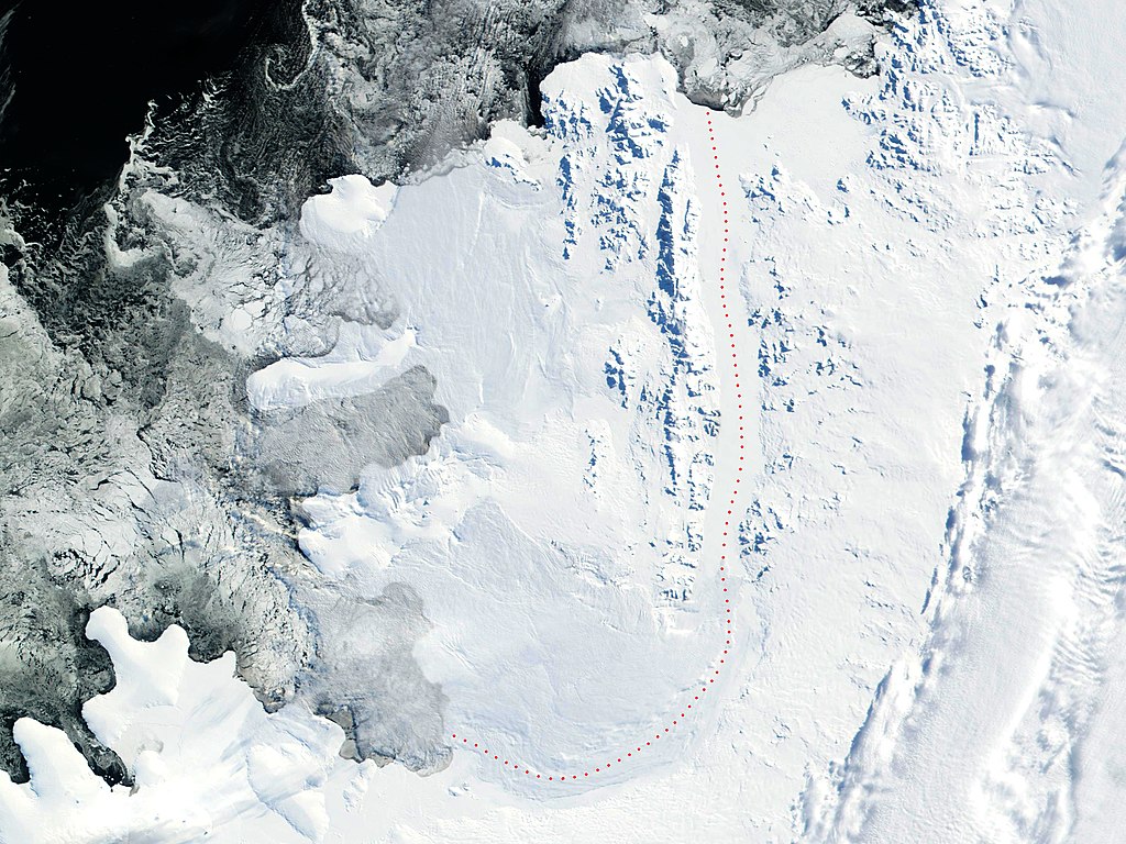
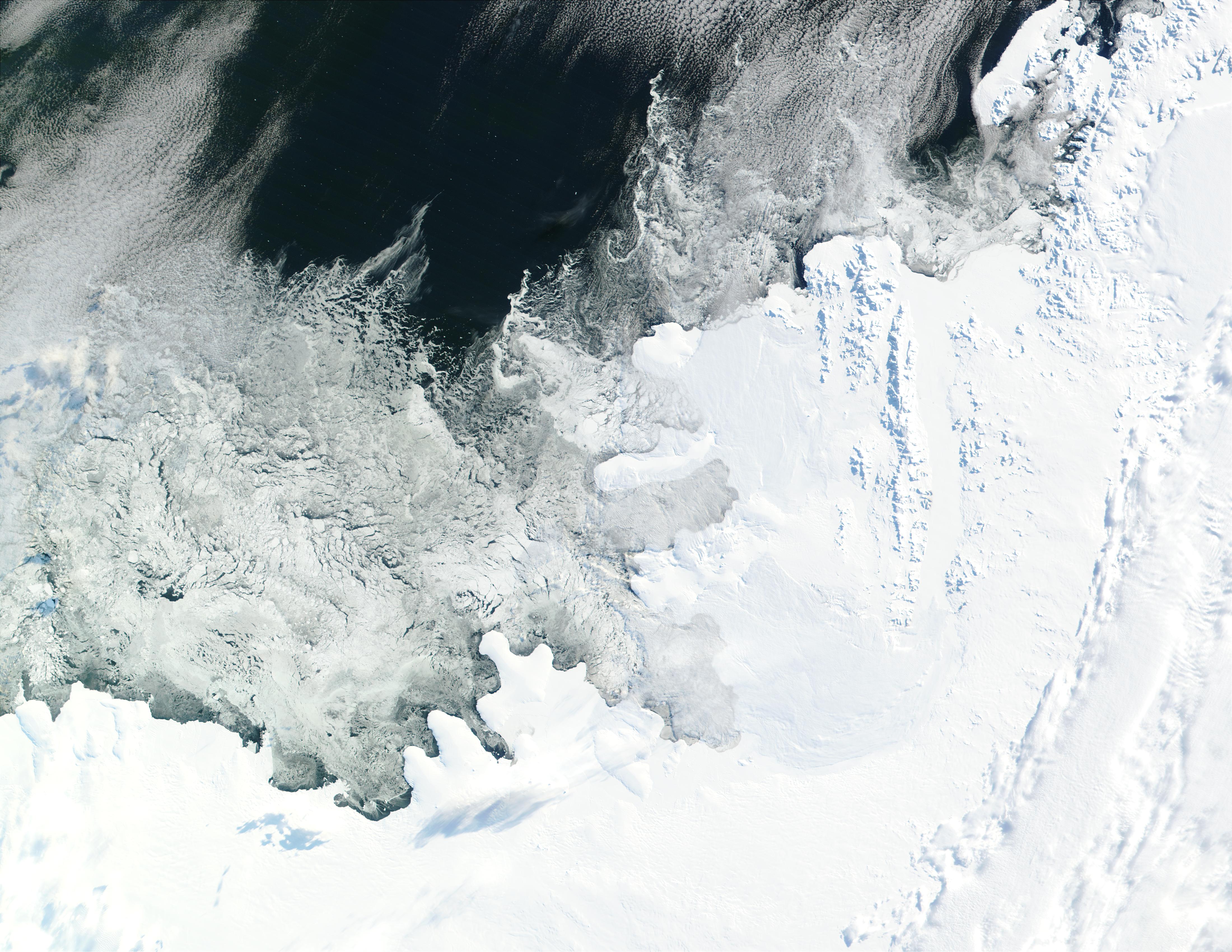
Source: 2002 NASA Visible Earth satellite image Bryan Coast, English Coast, Alexander Island, Fallieres Coast, and Bellingshausen Sea, Antarctica.
Fragment edited and published by Apcbg 13:29, 22 July 2006 (UTC).
| This file is in the public domain in the United States because it was solely created by NASA. NASA copyright policy states that "NASA material is not protected by copyright unless noted". (See Template:PD-USGov, NASA copyright policy page or JPL Image Use Policy.) | ||
 |
Warnings:
|
檔案歷史
撳個日期/時間去睇響嗰個時間出現過嘅檔案。
| 日期/時間 | 縮圖 | 尺寸 | 用戶 | 註解 | |
|---|---|---|---|---|---|
| 現時 | 2018年5月30號 (三) 19:16 | | 2,869 × 2,152(4.02 MB) | Apcbg(傾偈 | 貢獻) | details |
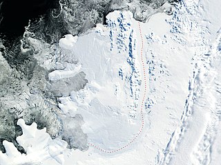
| 2006年7月22號 (六) 13:29 |  | 2,805 × 2,300(4.23 MB) | Apcbg(傾偈 | 貢獻) | 2002 NASA Visible Earth satellite image: Bryan Coast, English Coast, Alexander Island, Fallieres Coast, and Bellingshausen Sea, Antarctica. Fragment edited and published by ~~~~. {{nasa}} |
你無得衾咗個檔案。
檔案用途
以下嘅1版用到呢個檔:
全域檔案使用情況
下面嘅維基都用緊呢個檔案:
- af.wikipedia.org嘅使用情況
- ar.wikipedia.org嘅使用情況
- be-tarask.wikipedia.org嘅使用情況
- be.wikipedia.org嘅使用情況
- ca.wikipedia.org嘅使用情況
- da.wikipedia.org嘅使用情況
- de.wikipedia.org嘅使用情況
- en.wikipedia.org嘅使用情況
- Alexander Island
- Umber Island
- Shaw Nunatak
- Thompson Hill
- Wubbold Glacier
- Stoltz Island
- Foreman Glacier
- Ablation Point – Ganymede Heights Antarctic Specially Protected Area
- Balgari Nunatak
- Satovcha Peak
- Igralishte Peak
- Mount Pontida
- Breze Peak
- Mount Devol
- Moriseni Peak
- Pripor Nunatak
- Lyubimets Nunatak
- Kandidiana Ridge
- Zavoy Nunatak
- Nebush Nunatak
- Tegra Nunatak
- Rachenitsa Nunatak
- Vola Ridge
- Lesnovo Hill
- Stryama Peak
- Paroriya Buttress
- Gazey Nunatak
- Piyanets Ridge
- Oselna Glacier
- Kolokita Cove
- Mozgovitsa Glacier
- Farmakida Cove
- Buneva Point
- Kamhi Point
- Goleminov Point
- Manolov Glacier
- St. Theodosius Nunatak
- Kutev Peak
- Nicolai Peak
睇呢個檔案嘅更多全域使用情況。