File:Arkansas counties map.png
跳转到导航
跳转到搜索
本预览的尺寸:678 × 599像素。 其他分辨率:272 × 240像素 | 543 × 480像素 | 793 × 701像素。
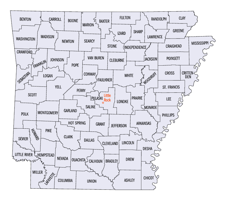
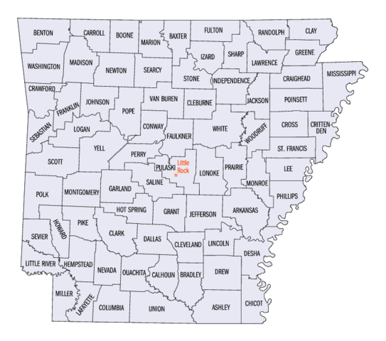
原始文件 (793 × 701像素,文件大小:2.14 MB,MIME类型:image/png)
说明
说明
添加一行文字以描述该文件所表现的内容
摘要
[编辑]
| 描述 | |
| 来源 | US gov |
| 作者 | United States Census Bureau |
许可协议
[编辑]
This image or file is a work of a United States Census Bureau employee, taken or made as part of that person's official duties. As a work of the U.S. federal government, the image is in the public domain.
|
 |
原始上传日志
[编辑]
The original description page was here. All following user names refer to en.wikipedia.
- 2005-06-24 22:39 Jengod 793×701× (110129 bytes) [[Category:Arkansas maps]] {{PD-USGov-DOC-Census}}
文件历史
点击某个日期/时间查看对应时刻的文件。
| 日期/时间 | 缩略图 | 大小 | 用户 | 备注 | |
|---|---|---|---|---|---|
| 当前 | 2022年2月27日 (日) 01:27 | | 793 × 701(2.14 MB) | Felagoth(留言 | 贡献) | added transparency |
| 2006年7月10日 (一) 17:31 |  | 793 × 701(108 KB) | JosN(留言 | 贡献) |
您不可以覆盖此文件。
文件用途
以下5个页面使用本文件:
全域文件用途
以下其他wiki使用此文件:
- bg.wikipedia.org上的用途
- cy.wikipedia.org上的用途
- en.wikipedia.org上的用途
- fr.wikipedia.org上的用途
- he.wikipedia.org上的用途
- hu.wikipedia.org上的用途
- it.wikipedia.org上的用途
- ja.wikipedia.org上的用途
- ko.wikipedia.org上的用途
- nds.wikipedia.org上的用途
- nl.wikipedia.org上的用途
- pt.wikipedia.org上的用途
- ro.wikipedia.org上的用途
- ru.wikipedia.org上的用途
- simple.wikipedia.org上的用途
- sv.wikipedia.org上的用途
- zh.wikipedia.org上的用途