File:Aruba location map (2).svg
跳至導覽
跳至搜尋

此 SVG 檔案的 PNG 預覽的大小:607 × 599 像素。 其他解析度:243 × 240 像素 | 486 × 480 像素 | 778 × 768 像素 | 1,037 × 1,024 像素 | 2,074 × 2,048 像素 | 889 × 878 像素。
原始檔案 (SVG 檔案,表面大小:889 × 878 像素,檔案大小:397 KB)
說明
說明
添加單行說明來描述出檔案所代表的內容
摘要
[編輯]| 描述 |
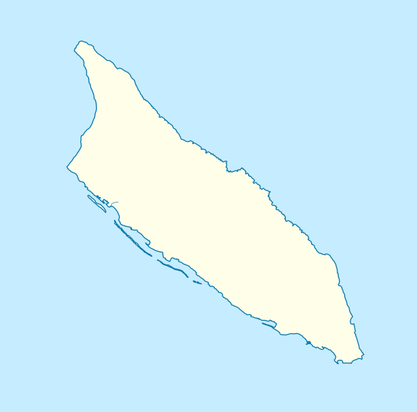
Deutsch: Positionskarte von Aruba
Mercator-Projektion. Geographische Begrenzung der Karte:
English: Location map of Aruba
Mercator projection. Geographic limits of the map:
|
| 日期 | |
| 來源 |
自己的作品, using
|
| 作者 | Carport |
| 其他版本 |
|
| SVG開發 |


.svg&action=edit§ion=1)
授權條款
[編輯].svg&action=edit§ion=2)
此檔案採用共享創意 姓名標示-相同方式分享 3.0 未在地化版本授權條款。
- 您可以自由:
- 分享 – 複製、發佈和傳播本作品
- 重新修改 – 創作演繹作品
- 惟需遵照下列條件:
- 姓名標示 – 您必須指名出正確的製作者,和提供授權條款的連結,以及表示是否有對內容上做出變更。您可以用任何合理的方式來行動,但不得以任何方式表明授權條款是對您許可或是由您所使用。
- 相同方式分享 – 如果您利用本素材進行再混合、轉換或創作,您必須基於如同原先的相同或兼容的條款,來分布您的貢獻成品。
檔案歷史
點選日期/時間以檢視該時間的檔案版本。
| 日期/時間 | 縮圖 | 尺寸 | 用戶 | 備註 | |
|---|---|---|---|---|---|
| 目前 | 2012年11月30日 (五) 14:33 | | 889 × 878(397 KB) | Carport(對話 | 貢獻) | {{Information |Description={{de|1=Positionskarte von {{w|Aruba|3=de}} {{w|Mercator-Projektion|3=de}}. Geographische Begrenzung der Karte: * N: 12.65° N * S: 12.38° N * W: 70.11° W * O: 69.83° W}} {{en|1=Location map of {{w|Aruba}} Mercator projec... |
無法覆蓋此檔案。
檔案用途
下列頁面有用到此檔案:
全域檔案使用狀況
以下其他 wiki 使用了這個檔案:
- an.wikipedia.org 的使用狀況
- ar.wikipedia.org 的使用狀況
- ast.wikipedia.org 的使用狀況
- az.wikipedia.org 的使用狀況
- be-tarask.wikipedia.org 的使用狀況
- bg.wikipedia.org 的使用狀況
- bn.wikipedia.org 的使用狀況
- bs.wikipedia.org 的使用狀況
- ceb.wikipedia.org 的使用狀況
- Plantilya:Location map Aruba
- Santa Lucia
- San Nicolas
- Punta Colorado
- Ceru Pretu
- Oranjestad
- Westpunt
- Ceru Grandi
- Seroe Grandi
- Warawara
- Spaans Lagoen
- Sero Preto
- Pos Chikitu
- Noordkaap
- Lagoen
- Druif
- California (pagklaro)
- Aruba (pagklaro)
- Warawara (bukid)
- Ceru Urataca
- Turibana
- Sero Tres Cabés
- Sero Tijshi
- Rooi Thomas
- Rooi Tambú
- Rooi Taki
- Sero Sumpiña
- Sumpiña
- Rooi Spoki
- Spaans Lagoen (lanaw)
- Spaans Lagoen (luuk)
- Smal
- Sint Nicolaasbaai
- Sint Nicolaas
- Rooi Santo
- Santa Lucia (bukid)
- Tanki Sabana Grandi
檢視此檔案的更多全域使用狀況。
.svg)
.svg&oldid=804560157)