File:Australia China Locator.png
跳至導覽
跳至搜尋

預覽大小:800 × 523 像素。 其他解析度:320 × 209 像素 | 640 × 419 像素 | 1,024 × 670 像素 | 1,492 × 976 像素。
原始檔案 (1,492 × 976 像素,檔案大小:90 KB,MIME 類型:image/png)
說明
說明
添加單行說明來描述出檔案所代表的內容
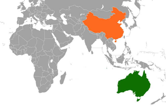
| 描述 | The location of People's Republic of China and Australia. | |||
| 日期 | The file was uploaded to the English version of Wikipedia on 18 June 2011. | |||
| 來源 | The file's source is http://en.wikipedia.org/wiki/File:Australia_China_Locator.png. | |||
| 作者 | The original uploader of the file was Phoenix500 from the English version of Wikipedia. | |||
| 授權許可 (重用此檔案) |
我,本作品的著作權持有者,決定用以下授權條款發佈本作品:
|
檔案歷史
點選日期/時間以檢視該時間的檔案版本。
| 日期/時間 | 縮圖 | 尺寸 | 用戶 | 備註 | |
|---|---|---|---|---|---|
| 目前 | 2020年9月5日 (六) 03:40 | | 1,492 × 976(90 KB) | Aquintero82(對話 | 貢獻) | Updated map |
| 2017年7月17日 (一) 05:00 |  | 1,425 × 625(64 KB) | Aquintero82(對話 | 貢獻) | Updated map | |
| 2011年7月25日 (一) 18:21 |  | 1,432 × 668(18 KB) | 玖巧仔(對話 | 貢獻) | 边界线 | |
| 2011年7月25日 (一) 09:51 |  | 1,432 × 668(59 KB) | 春卷柯南(對話 | 貢獻) | Reverted to version as of 09:50, 25 July 2011 | |
| 2011年7月25日 (一) 09:50 |  | 1,432 × 742(64 KB) | 春卷柯南(對話 | 貢獻) | Reverted to version as of 09:14, 25 July 2011 | |
| 2011年7月25日 (一) 09:50 |  | 1,432 × 668(59 KB) | 春卷柯南(對話 | 貢獻) | removing antarctica from the map | |
| 2011年7月25日 (一) 09:14 |  | 1,432 × 742(64 KB) | Hoising(對話 | 貢獻) | Colour | |
| 2011年7月23日 (六) 15:16 |  | 1,432 × 742(64 KB) | Hoising(對話 | 貢獻) | Antarctica | |
| 2011年7月23日 (六) 15:14 |  | 1,432 × 742(57 KB) | Hoising(對話 | 貢獻) | Antarctica | |
| 2011年7月16日 (六) 10:27 |  | 1,432 × 742(57 KB) | 春卷柯南(對話 | 貢獻) | {{Information |Description=The location of People's Republic of China and Australia. |Source=The file's source is [http://en.wikipedia.org/wiki/File:Australia_China_Locator.png http://en.wikipedia.o |
無法覆蓋此檔案。
檔案用途
下列頁面有用到此檔案:
全域檔案使用狀況
以下其他 wiki 使用了這個檔案:
- ca.wikipedia.org 的使用狀況
- de.wikipedia.org 的使用狀況
- en.wikipedia.org 的使用狀況
- es.wikipedia.org 的使用狀況
- fa.wikipedia.org 的使用狀況
- fr.wikipedia.org 的使用狀況
- fr.wikinews.org 的使用狀況
- he.wikipedia.org 的使用狀況
- id.wikipedia.org 的使用狀況
- ja.wikipedia.org 的使用狀況
- ko.wikipedia.org 的使用狀況
- pt.wikipedia.org 的使用狀況
- www.wikidata.org 的使用狀況
- zh.wikipedia.org 的使用狀況
- zh.wikinews.org 的使用狀況