File:Ayer Hitam IC.svg
跳至導覽
跳至搜尋

此 SVG 檔案的 PNG 預覽的大小:670 × 600 像素。 其他解析度:268 × 240 像素 | 536 × 480 像素 | 858 × 768 像素 | 1,144 × 1,024 像素 | 2,288 × 2,048 像素 | 2,634 × 2,358 像素。
原始檔案 (SVG 檔案,表面大小:2,634 × 2,358 像素,檔案大小:5.79 MB)
說明
說明
添加單行說明來描述出檔案所代表的內容
摘要
[編輯]
| 描述 |
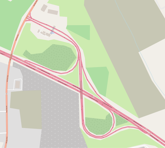
English: Map of Ayer Hitam I/C, provided by openstreetmap.org. |
| 日期 | |
| 來源 | OpenStreetMap |
| 作者 | © OpenStreetMap contributors |
| 描寫 |
本地圖以OpenStreetMap計畫資料建立,由社群收集。 此地圖可能不完整,也可能包含錯誤。別只用它當導航。 |
|||
| 日期 | (參見檔案歷史) | |||
| 來源 | openstreetmap.org | |||
| 創作作者 |
OpenStreetMap 貢獻者 |
|||
| 授權許可 (重用此檔案) |
OpenStreetMap的資料依據開放資料庫授權條款(細節)提供。標準樣式的圖磚按照ODbL生產的作品授權。
|
|||
| 地理參考 | 如果不合適,請設定「warp_status = skip」為隱藏。 |
授權條款
[編輯]
| This work is licensed under the Open Database License (summary). |
檔案歷史
點選日期/時間以檢視該時間的檔案版本。
| 日期/時間 | 縮圖 | 尺寸 | 用戶 | 備註 | |
|---|---|---|---|---|---|
| 目前 | 2018年12月13日 (四) 10:53 | | 2,634 × 2,358(5.79 MB) | *angys*(對話 | 貢獻) | User created page with UploadWizard |
無法覆蓋此檔案。
檔案用途
沒有使用此檔案的頁面。
全域檔案使用狀況
以下其他 wiki 使用了這個檔案:
- en.wikipedia.org 的使用狀況
- zh.wikipedia.org 的使用狀況