File:BC-relief.png
跳至導覽
跳至搜尋

預覽大小:585 × 599 像素。 其他解析度:234 × 240 像素 | 469 × 480 像素 | 659 × 675 像素。
原始檔案 (659 × 675 像素,檔案大小:605 KB,MIME 類型:image/png)
說明
說明
添加單行說明來描述出檔案所代表的內容
摘要
[編輯]
| 描述 |
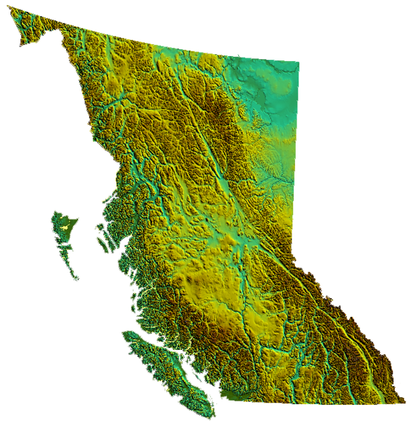
relief of British Columbia, Canada produced from USGS data |
| 日期 | 2006年3月31日 (原始上傳日期) |
| 來源 | No machine-readable source provided. Own work assumed (based on copyright claims). |
| 作者 | No machine-readable author provided. Qyd assumed (based on copyright claims). |
授權條款
[編輯]
| 我,此作品的版權所有人,釋出此作品至公共領域。此授權條款在全世界均適用。 這可能在某些國家不合法,如果是的話: 我授予任何人有權利使用此作品於任何用途,除受法律約束外,不受任何限制。 |
檔案歷史
點選日期/時間以檢視該時間的檔案版本。
| 日期/時間 | 縮圖 | 尺寸 | 使用者 | 備註 | |
|---|---|---|---|---|---|
| 目前 | 2006年11月4日 (六) 01:39 | | 659 × 675(605 KB) | Qyd(留言 | 貢獻) | transparent background |
| 2006年3月31日 (五) 02:01 |  | 659 × 675(536 KB) | Qyd(留言 | 貢獻) | relief of British Columbia, Canada |
無法覆蓋此檔案。
檔案用途
下列2個頁面有用到此檔案:
全域檔案使用狀況
以下其他 wiki 使用了這個檔案:
- as.wikipedia.org 的使用狀況
- bcl.wikipedia.org 的使用狀況
- de.wikipedia.org 的使用狀況
- en.wikipedia.org 的使用狀況
- Coombs, British Columbia
- Della Falls
- Regional District of Kootenay Boundary
- Eagle Pass (British Columbia)
- Cameron Bar Indian Reserve No. 13
- Mount McGuire (Alberta)
- Mount King Edward
- Flores Island (British Columbia)
- Ball Range
- 105 Mile Post Indian Reserve No. 2
- Madeira Park
- Queen Charlotte Sound (Canada)
- Nootka Island
- Beatrice Peak
- Isabelle Peak
- Duke Point, British Columbia
- Haiduk Peak
- Kinney Lake
- Spanish Bonk
- Mount Cornwell (Canada)
- Laidlaw, British Columbia
- Pearse Island
- Portland Canal
- President Range
- Regional District of Central Kootenay
- Regional District of Bulkley-Nechako
- Cowichan Valley
- Saltair, British Columbia
- Mount Macdonald
- Basque, British Columbia
- Oweekeno
- Clark Range (Canada)
- Kaien Island
- Mount Field (British Columbia)
- Beaverfoot Range
- Halfmoon Bay, British Columbia
- Atlin Lake
- Williston Lake
- Columbia Valley
- Lake Revelstoke
- Moyie Lake
- Wood Lake (British Columbia)
- Baynes Sound
- Kokanee Lake
- Kinbasket Lake
- Wasa Lake
- Wilmer, British Columbia
檢視此檔案的更多全域使用狀況。