File:Basque Country location map.svg
跳转到导航
跳转到搜索

此SVG文件的PNG预览的大小:512 × 401像素。 其他分辨率:307 × 240像素 | 613 × 480像素 | 981 × 768像素 | 1,280 × 1,003像素 | 2,560 × 2,005像素。
原始文件 (SVG文件,尺寸为512 × 401像素,文件大小:279 KB)
说明
说明
添加一行文字以描述该文件所表现的内容
| 描述 |
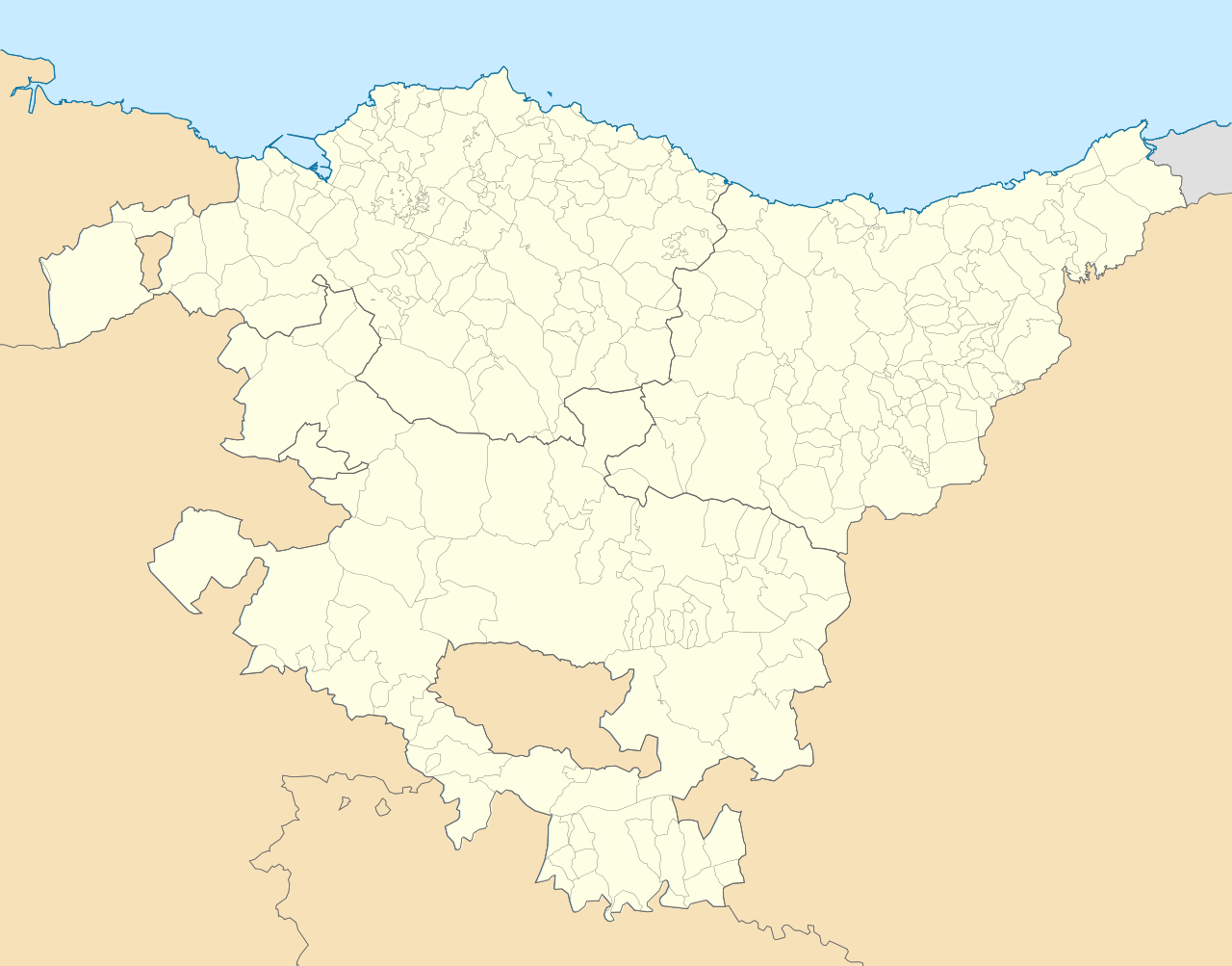
English: Location map of Pays Basque (Spain) Equirectangular projection, N/S stretching 130 %. Geographic limits of the map: * N: 43.533029° N * S: 42.421667° N * W: 3.509299° W * E: 1.660014° W Español: Mapa de localización de la comunidad autónoma del País Vasco (España) Proyección equirrectangular, N/S estirada 130 %. Límites geográficos del mapa: * N: 43.533029° N * S: 42.421667° N * O: 3.509299° O * E: 1.660014° O |
| 日期 | (UTC) |
| 来源 | |
| 作者 |
|
| 这是一张修改过的图片,这意味着它已在原版本的基础上通过软件进行了编辑,改动内容:harmonisation couleur+nettoyage。其原始版本为:País Vasco-loc.svg。
|
我,本作品著作权人,特此采用以下许可协议发表本作品:
本文件采用知识共享署名-相同方式共享 3.0 未本地化版本许可协议授权。
- 您可以自由地:
- 共享 – 复制、发行并传播本作品
- 修改 – 改编作品
- 惟须遵守下列条件:
- 署名 – 您必须对作品进行署名,提供授权条款的链接,并说明是否对原始内容进行了更改。您可以用任何合理的方式来署名,但不得以任何方式表明许可人认可您或您的使用。
- 相同方式共享 – 如果您再混合、转换或者基于本作品进行创作,您必须以与原先许可协议相同或相兼容的许可协议分发您贡献的作品。
原始上传日志
[编辑]
This image is a derivative work of the following images:
- File:País_Vasco-loc.svg licensed with Cc-by-sa-3.0
- 2010-05-14T23:00:52Z Miguillen 512x401 (323163 Bytes) == {{int:filedesc}} == {{Information |Description= {{en|Location map of [[:en:Pays Basque|Pays Basque]]}} Equirectangular projection, N/S stretching 130 %. Geographic limits of the map: * N: 43.5625° N * S: 42.375° N *
Uploaded with derivativeFX
文件历史
点击某个日期/时间查看对应时刻的文件。
| 日期/时间 | 缩略图 | 大小 | 用户 | 备注 | |
|---|---|---|---|---|---|
| 当前 | 2015年10月30日 (五) 10:26 | | 512 × 401(279 KB) | Mapeh(留言 | 贡献) | Rajout de la municipalité d'Urduña. |
| 2010年5月20日 (四) 13:58 |  | 512 × 401(285 KB) | Miguillen(留言 | 贡献) | marco y bordes de mar y fronteras | |
| 2010年5月19日 (三) 12:11 |  | 512 × 401(274 KB) | Xfigpower(留言 | 贡献) | {{Information |Description={{en|Location map of Pays Basque (Spain)}} Equirectangular projection, N/S stretching 130 %. Geographic limits of the map: * N: 43.533029° N * S: 42.421667° N * W: 3.509299° W |
您不可以覆盖此文件。
文件用途
以下页面使用本文件:
全域文件用途
以下其他wiki使用此文件:
- ar.wikipedia.org上的用途
- ast.wikipedia.org上的用途
- azb.wikipedia.org上的用途
- سوپوئترا
- لموآ
- آزپیتیا
- آقوراین
- اجانقیز
- بیتوریا
- قتسو
- ارنانی
- آراتزو
- زارائوز
- باراکالدو
- وله د تراپاقا
- برانقو
- پورتوقالته
- لویو (ایسپانیا)
- انیاتی
- آموریو
- ارون (ایسپانیا)
- بوستوریا
- بریز (ایسپانیا)
- بیلبائو
- فوئنترابیا
- والماسدا
- آبادینو
- آرهآتزا
- آبانتو وای سیربانا آبانتو زیربنا
- ایبار
- دورانقو (بیسکی)
- آزکویتیا
- قرنیکا
- اونداروآ
- لکیتیو
- لاباستیدا
- امزکتا
- ایا
- آبالتزیسکتا
- az.wikipedia.org上的用途
- ba.wikipedia.org上的用途
- bg.wikipedia.org上的用途
查看此文件的更多全域用途。