File:Beijing location map.png
跳转到导航
跳转到搜索
本预览的尺寸:800 × 548像素。 其他分辨率:320 × 219像素 | 640 × 439像素 | 1,024 × 702像素 | 1,280 × 877像素 | 1,697 × 1,163像素。
原始文件 (1,697 × 1,163像素,文件大小:1.8 MB,MIME类型:image/png)
说明
说明
添加一行文字以描述该文件所表现的内容
摘要
[编辑]
| 描述 |
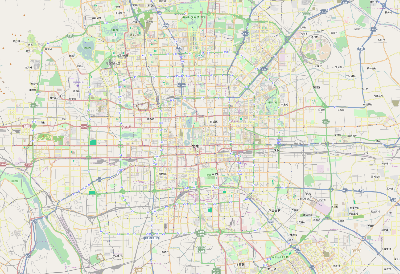
English: OpenStreetMap location map of Beijing, China.
|
| 日期 | |
| 来源 | OpenStreetMap |
| 作者 | OpenStreetMap contributors |
许可协议
[编辑]
| This work contains information from OpenStreetMap, which is made available under the Open Database License (ODbL).
The ODbL does not require any particular license for maps produced from ODbL data. Prior to 1 August 2020, map tiles produced by the OpenStreetMap Foundation were licensed under the CC-BY-SA-2.0 license. Maps produced by other people may be subject to other licences. |
文件历史
点击某个日期/时间查看对应时刻的文件。
| 日期/时间 | 缩略图 | 大小 | 用户 | 备注 | |
|---|---|---|---|---|---|
| 当前 | 2015年7月25日 (六) 18:44 | | 1,697 × 1,163(1.8 MB) | Yanajin33(留言 | 贡献) | User created page with UploadWizard |
您不可以覆盖此文件。
文件用途
没有页面使用本文件。
全域文件用途
以下其他wiki使用此文件:
- bg.wikipedia.org上的用途
- bn.wikipedia.org上的用途
- de.wikipedia.org上的用途
- en.wikipedia.org上的用途
- eo.wikipedia.org上的用途
- fa.wikipedia.org上的用途
- fr.wikipedia.org上的用途
- Cité interdite
- Stade national de Pékin
- Zhengyangmen
- Sites des Jeux olympiques d'été de 2008
- Centre national de natation de Pékin
- Palais national omnisports de Pékin
- LeSports Center
- Palais des sports des Ouvriers
- Stade des Ouvriers
- Gare de Pékin-Sud
- Tour de la cloche de Pékin
- Gare de Pékin
- Jeux olympiques d'hiver de 2022
- Musée national de Chine
- Musée d'Art national de Chine
- Olympic Green Hockey Field
- Hepingmen (métro de Pékin)
- Gare de Pékin-Ouest
- Temple de Confucius de Pékin
- Palais omnisports de la capitale de Pékin
- Modèle:Géolocalisation/Pékin (centre)
- Modèle:Pékin aux JO 2022
- Sites des Jeux olympiques et paralympiques d'hiver de 2022
- Wikipédia:Atelier graphique/Cartes/Archives/septembre 2015
- Wikipédia:Atelier modèle de géolocalisation/Archives/2015
- Musée du palais impérial
- Administration générale des douanes
查看此文件的更多全域用途。