File:BlankMap-World-1962.png
Fitxer original (1.357 × 628 píxels, mida del fitxer: 48 Ko, tipus MIME: image/png)
Llegendes
Llegendes

|
Aquesta imatge (de tipus locator map) s'hauria de tornar a crear utilitzant gràfics vectorials com ara un fitxer SVG. Això té diversos avantatges; en trobareu més informació a Commons:Media for cleanup. Si ja disposeu d'una versió d'aquesta imatge en format SVG, us preguem que la pengeu; després, reemplaceu aquesta plantilla amb la plantilla {{Vector version available|nom nou de la imatge.svg}} en aquesta imatge.
|
Resum[modifica]
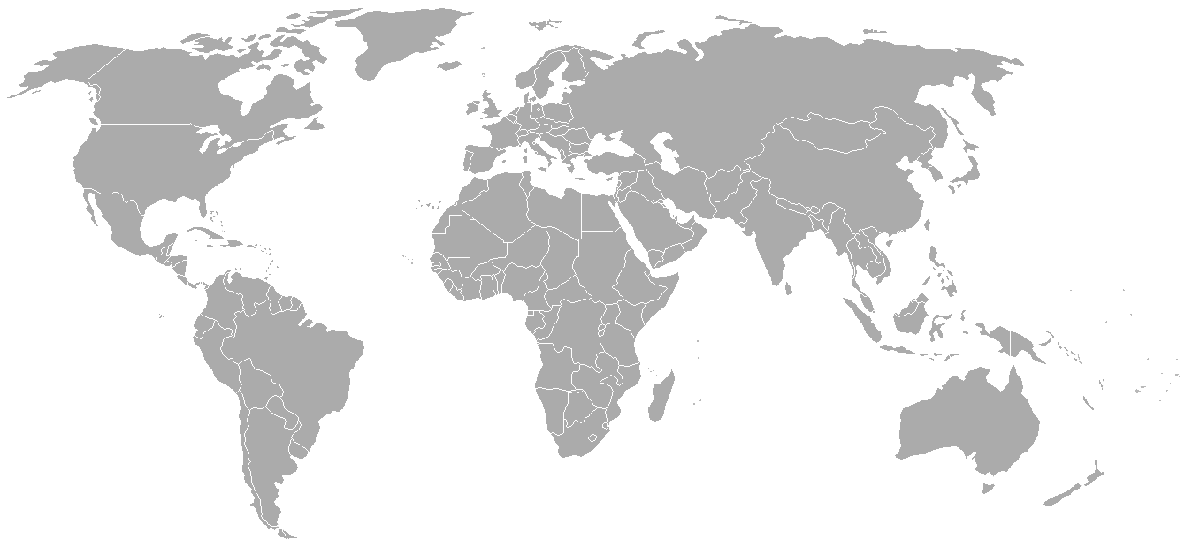
World map with 1962 borders. This is accurate between July 1, 1962 (Belgian colony of Ruanda-Urundi separated into Rwanda and Burundi.) and August 31, 1963 (Singapore, Sabah, Sarawak and Malaya join to form Malaysia). See list for more information.
| Blank maps of the world for historical use | |
| pre-1800 | |
|
19th century | |
|
20th century | |
|
1902 · 1912 · 1914 · WWI · Aug 1918 · 1920 · 1921 · 1924 · 1926 · 1935 · 1937 · Mar 1938 · Oct 1938 · Mar 1939 · Oct 1939 · WWII · Nov 1942 · May 1945 · 1957 · 1959 · 1962 · 1968 · 1970 · 1985 · 1990 · 1993 | |
|
21st century | |
| (this template: · view · discuss ) | |
.PNG)
derivative works[modifica]
Derivative works of this file: FLN soccer team visited countries.png
Llicència[modifica]

|
S'autoritza la còpia, la distribució i la modificació d'aquest document sota els termes de la llicència de documentació lliure GNU versió 1.2 o qualsevol altra versió posterior que publiqui la Free Software Foundation; sense seccions invariants, ni textos de portada, ni textos de contraportada. S'inclou una còpia d'aquesta llicència en la secció titulada GNU Free Documentation License. |
| Aquest fitxer està subjecte a la llicència de Creative Commons Reconeixement i Compartir Igual 3.0 No adaptada. | ||
| ||
| Aquest avís de llicència s'ha afegit a aquest fitxer d'acord amb l'actualització de la llicència GFDL. |
Historial del fitxer
Cliqueu una data/hora per veure el fitxer tal com era aleshores.
| Data/hora | Miniatura | Dimensions | Usuari/a | Comentari | |
|---|---|---|---|---|---|
| actual | 02:49, 24 set 2007 | | 1.357 × 628 (48 Ko) | Hoshie (discussió | contribucions) | put the (N/S) Yemen boundary in white due to the fact the boundaries in southern Saudi Arabia have been disputed, undemarcated, or undisclosed over the years. |
| 00:43, 6 ago 2007 |  | 1.357 × 628 (48 Ko) | Hoshie (discussió | contribucions) | Added Cabinda; under same lic. as original. | |
| 10:27, 28 gen 2007 |  | 1.357 × 628 (48 Ko) | Hoshie (discussió | contribucions) | added Ifni, a Spanish enclave. | |
| 23:54, 5 gen 2007 |  | 1.357 × 628 (48 Ko) | Roke~commonswiki (discussió | contribucions) | Blank world map with 1962 borders. This is accurate between December 19, 1961 (India takes over the Portugese colony of Goa) and July 1, 1962 (Belgian colony of Ruanda-Urundi separated into Rwanda and Burundi.) See [[w:List of national border changes sinc |
No podeu sobreescriure aquest fitxer.
Ús del fitxer
La pàgina següent utilitza aquest fitxer:
Ús global del fitxer
Utilització d'aquest fitxer en altres wikis:
- Utilització a ca.wikipedia.org
- Utilització a es.wikipedia.org
- Utilització a fr.wikipedia.org
- Utilització a nl.wikipedia.org