File:BlankMap-World-with-Circles.svg
Zur Navigation springen
Zur Suche springen

Größe der PNG-Vorschau dieser SVG-Datei: 800 × 406 Pixel. Weitere Auflösungen: 320 × 162 Pixel | 640 × 325 Pixel | 1.024 × 520 Pixel | 1.280 × 650 Pixel | 2.560 × 1.300 Pixel | 2.754 × 1.398 Pixel.
Originaldatei (SVG-Datei, Basisgröße: 2.754 × 1.398 Pixel, Dateigröße: 1,06 MB)
Bildtexte
Kurzbeschreibungen
Ergänze eine einzeilige Erklärung, was diese Datei darstellt.
Beschreibung[Bearbeiten]
| Beschreibung |
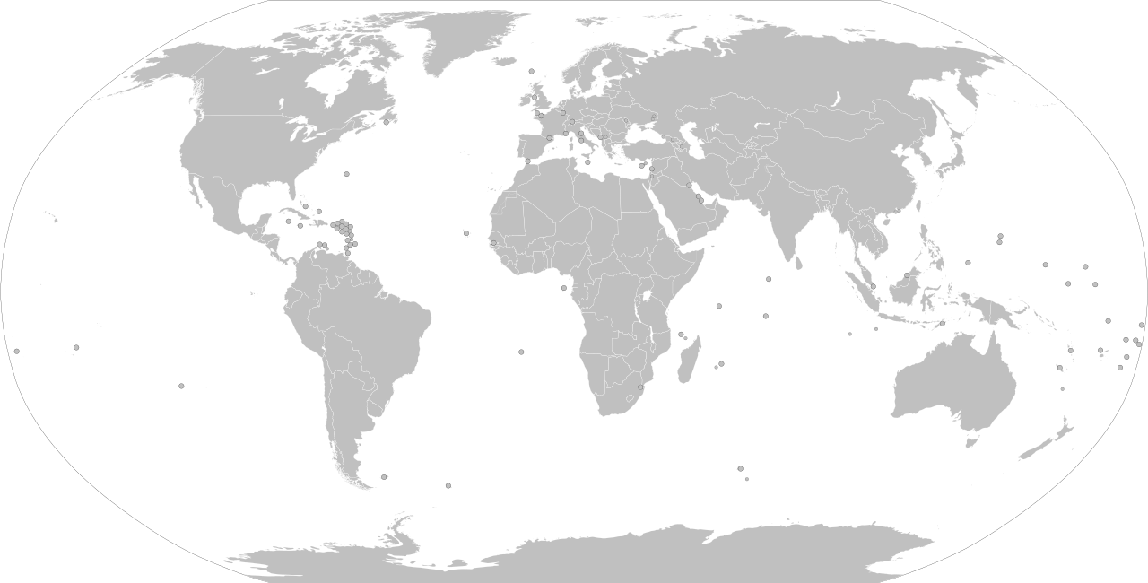
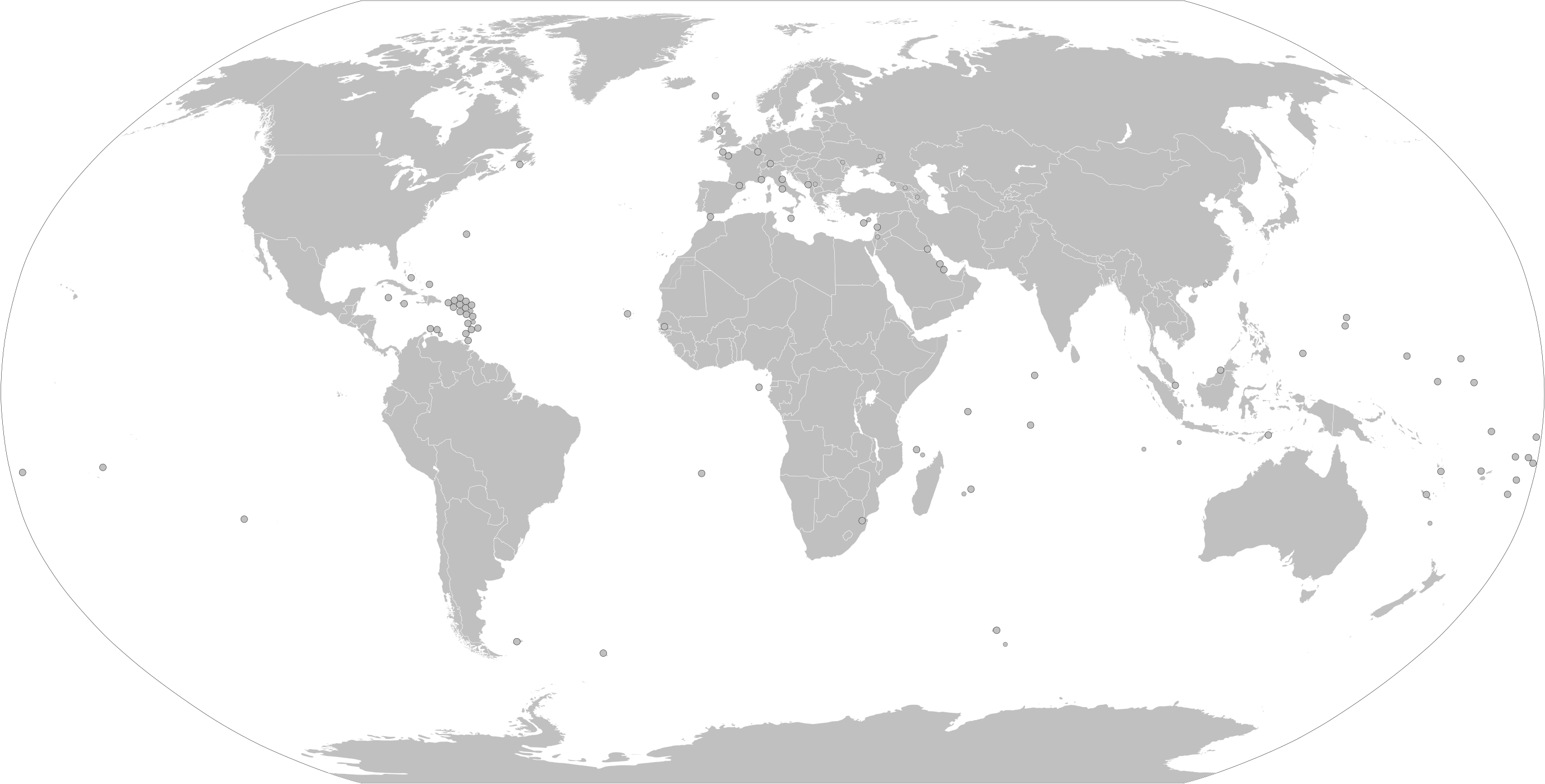
English: This file is File:BlankMap-World.svg with all the circled states and territories now visible. See File talk:BlankMap-World.svg/Documentation#Small countries.
This image shows a global map of the world, with all the countries and dependencies that are under 20,000 km² in area, as well as various other subnational territories, represented by a circle. Do NOT use this image for creating derivative works. Use BlankMap-World.svg for that purpose. This is a purely technical illustration created for the purpose of being used in the documentation (click here) for the main image, from which this file was derived: BlankMap-World.svg. As such, this map is not making any political statements – it simply shows hidden elements in the main image. Hence, this is just a technical illustration that should not be used for creating derivative works – please use the main image (BlankMap-World.svg) for that purpose. |
| Datum | |
| Quelle |
Eigenes Werk. Diese Datei wurde von diesem Werk abgeleitet: BlankMap-World.svg and is a simple technical illustration of the capabilities of the main file, with all "opacity" elements in SVG being assigned 1. |
| Urheber | Cherkash and others |
| SVG‑Erstellung |
Lizenz[Bearbeiten]
Ich, der Urheber dieses Werkes, veröffentliche es unter der folgenden Lizenz:
Diese Datei ist lizenziert unter der Creative-Commons-Lizenz „Namensnennung – Weitergabe unter gleichen Bedingungen 4.0 international“.
- Dieses Werk darf von dir
- verbreitet werden – vervielfältigt, verbreitet und öffentlich zugänglich gemacht werden
- neu zusammengestellt werden – abgewandelt und bearbeitet werden
- Zu den folgenden Bedingungen:
- Namensnennung – Du musst angemessene Urheber- und Rechteangaben machen, einen Link zur Lizenz beifügen und angeben, ob Änderungen vorgenommen wurden. Diese Angaben dürfen in jeder angemessenen Art und Weise gemacht werden, allerdings nicht so, dass der Eindruck entsteht, der Lizenzgeber unterstütze gerade dich oder deine Nutzung besonders.
- Weitergabe unter gleichen Bedingungen – Wenn du das Material wiedermischst, transformierst oder darauf aufbaust, musst du deine Beiträge unter der gleichen oder einer kompatiblen Lizenz wie das Original verbreiten.
Dateiversionen
Klicke auf einen Zeitpunkt, um diese Version zu laden.
| Version vom | Vorschaubild | Maße | Benutzer | Kommentar | |
|---|---|---|---|---|---|
| aktuell | 10:16, 4. Nov. 2023 | | 2.754 × 1.398 (1,06 MB) | Siirski (Diskussion | Beiträge) | Reverted to version as of 23:45, 29 May 2020 (UTC) |
| 09:04, 1. Okt. 2023 |  | 2.754 × 1.398 (1,11 MB) | Caawiyahaderon (Diskussion | Beiträge) | https://www.thehindu.com/news/international/pro-somalia-militia-takes-key-army-base-in-breakaway-region/article67238670.ece | |
| 23:45, 29. Mai 2020 |  | 2.754 × 1.398 (1,06 MB) | Cherkash (Diskussion | Beiträge) | Reverted to version as of 01:33, 3 January 2020 (UTC) the previous uploader didn't read description and/or didn't understand the logic of using this file only for illustration of the docs of the main file | |
| 02:38, 14. Mai 2020 |  | 2.754 × 1.398 (1,06 MB) | DokiDonkey (Diskussion | Beiträge) | Remove Azad Jammu and Kashmir, it's not a country or politically a region. | |
| 23:46, 8. Jan. 2020 |  | 2.754 × 1.398 (1,06 MB) | Cherkash (Diskussion | Beiträge) | Reverted to version as of 01:33, 3 January 2020 (UTC) the previous uploader didn't read description and/or didn't understand the logic of using this file only for illustration of the docs of the main file | |
| 17:16, 8. Jan. 2020 |  | 2.754 × 1.398 (1,05 MB) | PatriotVIII (Diskussion | Beiträge) | updated according to the international law and official county list | |
| 01:33, 3. Jan. 2020 |  | 2.754 × 1.398 (1,06 MB) | Cherkash (Diskussion | Beiträge) | synced up with the main file | |
| 15:50, 26. Dez. 2019 |  | 2.754 × 1.398 (891 KB) | Kashmiri (Diskussion | Beiträge) | Removing universally unrecognised entities | |
| 01:26, 4. Aug. 2019 |  | 2.754 × 1.398 (1,06 MB) | Cherkash (Diskussion | Beiträge) | User created page with UploadWizard |
Du kannst diese Datei nicht überschreiben.
Dateiverwendung
Die folgenden 19 Seiten verwenden diese Datei:
- Maps of the world
- File:All colonies blank map.png
- File:BlankMap-World-large-limited-recognition.png
- File:BlankMap-World.svg
- File:Charles III and Camilla coronation guests.svg
- File:Countries at the state funeral of Elizabeth II.svg
- File:Countries which have provided support to India during India's second covid wave 2021 April May.png
- File:Geneva Convention on Road Traffic.svg
- File:Kvalitastatu2020.svg
- File:Mandatory signs around the world.svg
- File:Road Warning signs around the World.svg
- File:Vienna Convention on Road Signs and Signals.svg
- File:Vienna Convention on Road Traffic.svg
- File:Whether to allow uploading of currency World Map.svg
- File:World map of traffic signal sequences.svg
- File:World stop sign shapes.svg
- File talk:BlankMap-World.svg
- File talk:BlankMap-World.svg/Documentation
- File talk:BlankMap-World.svg/Documentation/ru
Globale Dateiverwendung
Die nachfolgenden anderen Wikis verwenden diese Datei:
- Verwendung auf de.wikipedia.org
- Verwendung auf en.wikipedia.org